Enviro News Asia, Jakarta — Indonesia recorded 475 high-confidence forest and land fire hotspots as of September 17, 2026, a slight decline from 479 a day earlier, according to the Ministry of Forestry.
Among six priority provinces, Riau recorded no high-confidence hotspots in the latest monitoring, while authorities have intensified fire control efforts in South Sumatra following a rise in detected hotspots.
Forestry Minister Raja Juli Antoni inspected forest and land fire response operations and elephant habitat conditions at the Padang Sugihan Wildlife Reserve in South Sumatra on Thursday, September 17.
Data from the Ministry of Forestry’s SiPongi monitoring system, based on NASA Terra/Aqua, SNPP, and NOAA-20 satellite observations, showed the following hotspot distribution as of 9:05 p.m. local time on September 17:
- South Sumatra: 184 hotspots, up from 123
- Central Kalimantan: 61, down from 102
- West Kalimantan: 30, up from 21
- Jambi: 15, up from 12
- South Kalimantan: 5, down from 11
- Riau: 0, down from 11
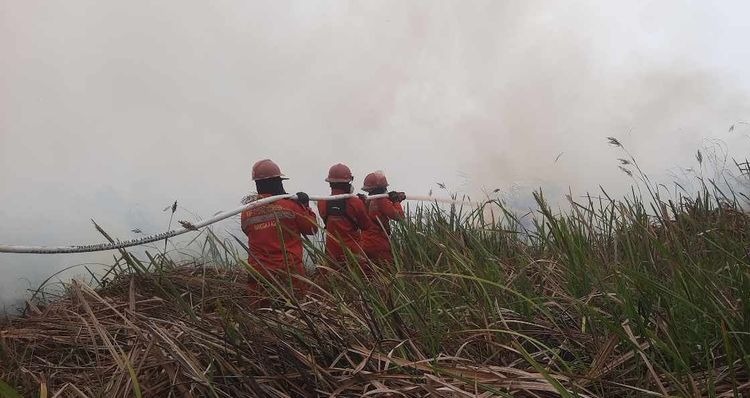
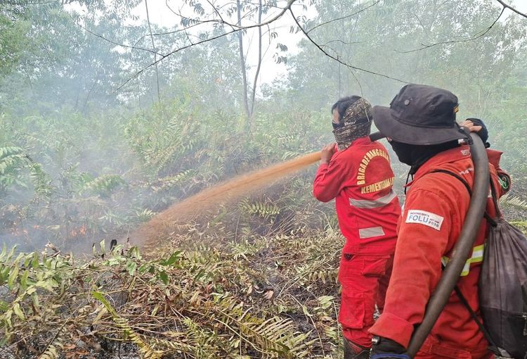
South Sumatra currently has the highest number of high-confidence hotspots among the six priority provinces. Firefighters and response teams have continued patrols, ground checks, suppression, firebreak operations, mopping up, wetting, and cooling activities in affected areas.
Positive developments have been recorded in Central Kalimantan and South Kalimantan, while Riau recorded zero high-confidence hotspots in the latest satellite monitoring.
During his visit to the Jalur 21 Elephant Conservation Center within the Padang Sugihan Wildlife Reserve, Raja Juli also reviewed the condition of Sumatran elephants and their habitat.
Padang Sugihan is an important habitat for Sumatran elephants. The Jalur 21 conservation center houses 29 managed elephants, all of which remained in good condition and showed no reported health problems linked to smoke exposure, according to monitoring cited by the Ministry of Forestry.
The ministry has reiterated that satellite-detected hotspots indicate surface temperature anomalies and do not automatically represent individual fire incidents. A single fire can generate multiple hotspot detections, making direct field verification necessary to determine actual conditions.
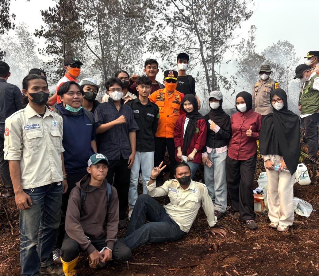
Manggala Agni personnel from the Ministry of Forestry are working with the Indonesian Military, National Police, National Disaster Management Agency (BNPB), Meteorology, Climatology and Geophysical Agency (BMKG), regional disaster management agencies, local governments, communities, businesses, and other stakeholders.
The response includes ground patrols, field verification, direct suppression, containment of fire spread, mopping up, wetting, and cooling operations.
The government has also maintained 53 aerial assets, comprising 34 aircraft for water bombing and 19 for aerial patrols and weather modification operations. Three Japanese CH-47 Chinook helicopters have also been prepared to support water-bombing operations.
Deployment of aerial resources is adjusted according to fire conditions, verified hotspot information, weather conditions, and aviation safety requirements.
BMKG’s forecast for September 18-24 indicates that very strong El Niño conditions combined with the ongoing dry season are maintaining relatively dry atmospheric conditions across much of Indonesia. The conditions could increase the risk of forest and land fires and smoke haze.
However, localized rainfall remains possible. BMKG forecast potential rain in Riau, Jambi, South Sumatra, West Kalimantan, and Central Kalimantan between September 18 and 20.
BMKG analysis indicates that the period of elevated fire risk could continue for several more weeks. During a limited meeting on September 16, President Prabowo Subianto instructed government agencies to maintain preparedness and strengthen coordination in response to the continuing fire threat.
The government was also instructed to take action against corporations found responsible for fires following verification, including possible permit revocation and criminal investigations where applicable.
Air quality conditions remain uneven across Indonesia. PM2.5 monitoring showed that most areas remained within good to moderate categories, while several locations in Sumatra and Kalimantan recorded unhealthy to very unhealthy conditions, with some areas reaching hazardous levels.
Smoke significantly affected South Sumatra on September 17. Visibility at Sultan Mahmud Badaruddin II Airport in Palembang fell to around 700 meters in the morning, forcing four incoming flights to enter holding patterns and experience delays. Visibility gradually improved after 8 a.m. local time.
In West Kalimantan, BMKG’s maritime weather forecast for Pontianak’s Dwikora Port indicated hazy conditions with visibility of around one kilometer during several observation periods.
Pekanbaru also recorded very unhealthy PM2.5 concentrations, while smoke haze remained noticeable in Jambi.
The government said forest and land fire control efforts are focused not only on extinguishing fires but also on reducing their impacts on communities, protecting forests and wildlife, and maintaining the safety of personnel and residents in affected areas.
The Ministry of Forestry also continued wildlife rescue operations. On September 17, the West Kalimantan Conservation Agency (BKSDA) and conservation partners rescued three orangutans affected by fires in Kayong Utara.
Authorities urged residents who encounter wildlife outside its habitat or affected by fires not to capture, chase, feed, or evacuate the animals independently. People should maintain a safe distance, record the location, document the animal’s condition when possible, and contact the nearest conservation agency.
Residents in smoke-affected areas are also encouraged to monitor air quality, reduce outdoor activities when conditions deteriorate, and wear masks when outdoor activities are unavoidable. Children, pregnant women, older adults, and people with respiratory conditions or chronic diseases require particular attention.
The Ministry of Forestry has also reminded communities and businesses not to clear or open land using fire during the ongoing dry season. (*)