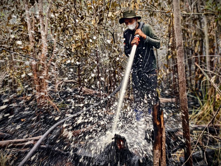



Enviro News Asia, Jakarta — Indonesia’s Meteorology, Climatology and Geophysics Agency (BMKG) and the National Peatland and Mangrove Management Agency (BPGMN) are exploring data integration to strengthen peatland and mangrove management, improve fire-risk assessments and support forest and land fire prevention.
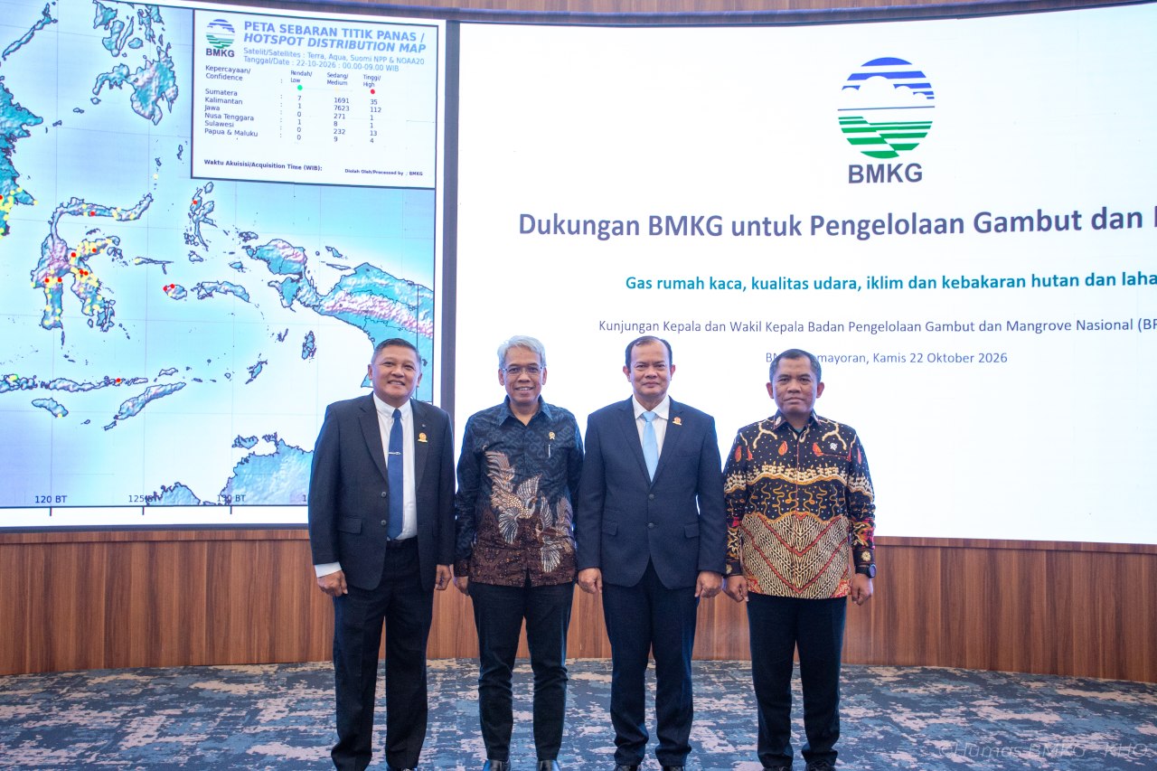
The initiative was discussed during a meeting at BMKG headquarters in Jakarta on October 22, attended by BMKG head Teuku Faisal Fathani, BPGMN head Satyawan Pudyatmoko and senior officials from both agencies.
Faisal said combining peatland conditions, including groundwater levels, with weather forecasts and rainfall potential could provide a more comprehensive basis for managing peatland and mangrove ecosystems.
BMKG can contribute climate predictions, meteorological drought assessments, consecutive dry-day monitoring and satellite information on hotspots, burned areas and smoke distribution. These data can help identify areas vulnerable to drought and guide mitigation measures based on weather and climate conditions.
BMKG Director of Applied Climate Services Marjuki said climate information could be combined with peatland data to develop risk indicators suited to conditions on the ground. Rainfall, the onset of the dry season, groundwater levels and peat moisture are among the factors that could inform water management and fire prevention.
BMKG also monitors air quality and greenhouse gases to improve understanding of fire impacts and help assess environmental restoration efforts. Further cooperation could include greenhouse gas measurements in restoration areas, estimates of emissions from forest and land fires, and a shared air-quality monitoring dashboard.
BMKG Director of Maritime Meteorology Agie Wandala Putra outlined the roles of the Fire Danger Rating System (FDRS) and the SPARTAN platform in supporting fire mitigation. These systems provide information on dryness, peatland conditions and potential fire spread to help authorities assess risks and plan preventive action.
Agie clarified that SPARTAN is not a direct fire-location detection system. Instead, it provides information to support mitigation decisions. Developing an early warning system for peat fires would also require field-survey data to ensure its indicators reflect local conditions, particularly in Sumatra and Kalimantan.
Himawari satellite data can also help monitor smoke distribution and potential fire hotspots, while meteorological information can support mitigation recommendations, including weather-modification operations when necessary.
For BPGMN, Satyawan highlighted the need for an integrated information system connecting fire early warnings with monitoring of peatland rewetting infrastructure. Data on canal-blocking structures, groundwater levels and local conditions would help authorities determine where interventions are needed and assess whether rewetting measures are working effectively.
He said early warning information and peatland rewetting infrastructure should be brought together in a single system rather than managed separately.
Satyawan also called for the use of existing technologies, including artificial intelligence and remote sensing, to deliver timely information and guide targeted mitigation. BPGMN remains open to developing cooperation with BMKG and relevant ministries according to their respective responsibilities.
During the visit, the BPGMN delegation toured BMKG’s Multi-Hazard Early Warning System (MHEWS) operational building. The facilities included the Meteorological Early Warning System (MEWS), Climate Early Warning System (CEWS), Indonesia Tsunami Early Warning System (InaTEWS) and Indonesia Earthquake Early Warning System (InaEEWS).
The delegation also visited SMONG, BMKG’s supercomputer facility for multi-hazard operations and numerical modelling, and its broadcast studio, which supports the dissemination of meteorological, climatological and geophysical information to the public.
The meeting marked an initial step towards making better use of existing data and monitoring systems for peatland and mangrove management. Both agencies are exploring how coordinated information could strengthen preparedness, improve decision-making and support more effective forest and land fire mitigation. (*)