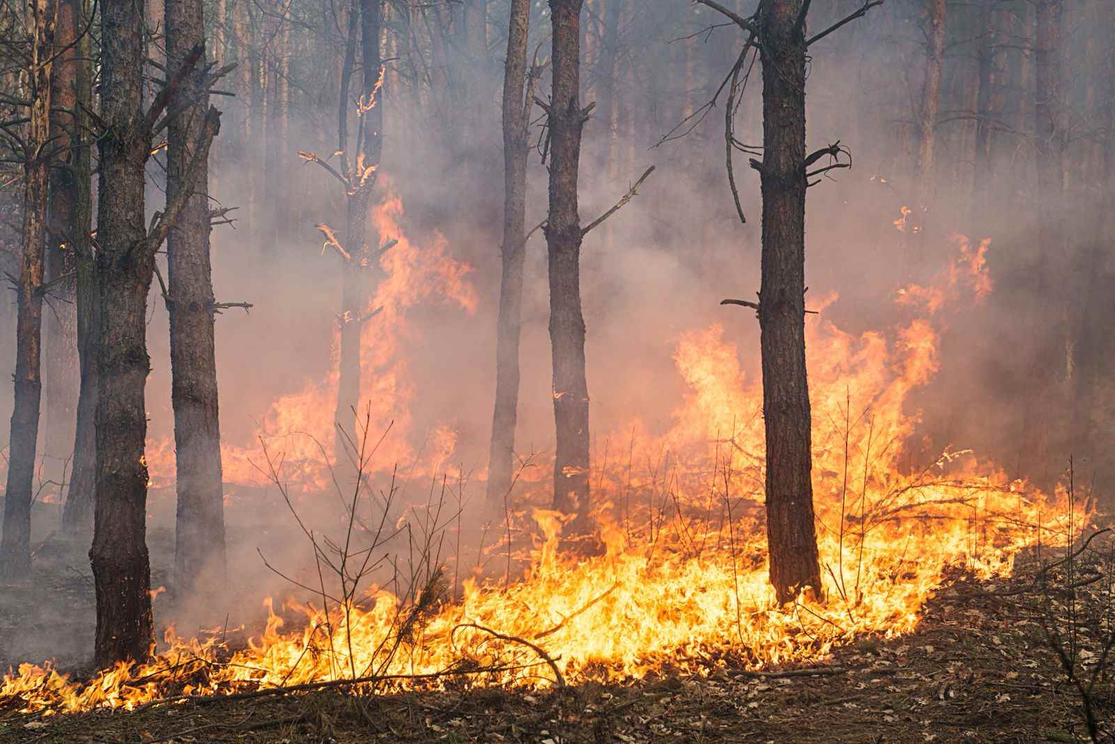
Enviro News Asia, Pontianak – Head of the Meteorology, Climatology, and Geophysics Agency (BMKG), Dwikorita Karnawati, stated that based on satellite monitoring, the fire risk level of forests and land in West Kalimantan Province is extremely high, particularly during the period of August 1–8, 2025.
This condition must be a serious concern for all stakeholders, especially considering that West Kalimantan borders a neighboring country.
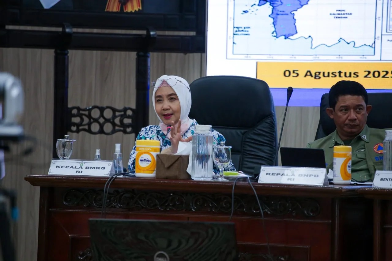
“Smoke dispersion in Indonesia on July 29 at 4:00 PM WIB showed that smoke from West Kalimantan had already reached the Natuna Sea and even encroached on the border area,” said Dwikorita during the Coordination Meeting on the Acceleration of Emergency Response for Haze Disasters from Forest and Land Fires at the West Kalimantan Governor’s Office, Friday (Aug 1).
In BMKG’s official release, satellite data indicated a spike in hotspots in West Kalimantan, with 108 detected on July 29, 19 on July 30, and 26 on July 31.
This data underscores the urgency of large-scale forest and land fire mitigation in the region due to the increasing escalation of hotspots.
“Therefore, all mitigation efforts, including Weather Modification Operations (WMO), must continue to prevent the spread of forest and land fires and the transboundary haze issue,” she said.
WMO activities in West Kalimantan have been conducted over seven days, from July 24–30, during which 17,000 kg of NaCl (salt) were seeded in a total of 17 flight sorties.
As a result, clouds were successfully optimized to produce rainfall, particularly in the targeted cloud seeding areas. The total additional water volume generated from the WMO was approximately 182.3 million cubic meters.
However, monitoring by the Ministry of Environment/Environmental Management Agency (KLH/BPLH) revealed that the groundwater table (GWT) levels in several fire-prone areas in West Kalimantan remain in a concerning state.
The report indicated that Kubu Raya Regency is the most at risk, with two GWT monitoring stations falling into the “dangerous” category.
In Kubu Raya Regency, out of a total of nine GWT stations, two stations (1%) were in this dangerous category. Additionally, one station fell under the “very vulnerable” category (60–80 cm), and nine stations (8%) were categorized as “vulnerable” (40–60 cm).
“This condition is a key indicator in forest and land fire prevention. Land with low groundwater levels is highly flammable and extremely difficult to extinguish,” she explained.
In addition to Kubu Raya, other regions also show signs of vulnerability, although not as severe. In Sintang Regency, two stations (15%) were considered vulnerable.
Ketapang Regency recorded three stations (50%) in the vulnerable category. Meanwhile, in Sambas Regency, three stations (50%) were categorized as vulnerable and one station (17%) as very vulnerable.
To anticipate a surge in forest and land fires, a joint team comprising BMKG, the National Disaster Management Agency (BNPB), the provincial government, and the military (TNI) has intensified Weather Modification Operations (WMO) even during nighttime.
Given the vast area of West Kalimantan, reaching the eastern parts of the province may require deploying aircraft fleets to locations such as Sintang or Putussibau.
This would depend on the readiness and infrastructure of the respective local airports to support WMO flights.
The coordination meeting was attended by Minister of Environment/Environmental Management Agency Hanif Faisol Nurofiq, Head of BNPB Lt. Gen. TNI Suharyanto, West Kalimantan Governor Ria Norsan, Commander of Military Region XII/Tanjungpura Maj. Gen. TNI Jamallulael, Deputy Chief of West Kalimantan Regional Police Brig. Gen. Pol. Roma Hutajulu, and other cross-sectoral officials who all agreed to strengthen coordination and mitigation efforts against forest and land fires. (*)