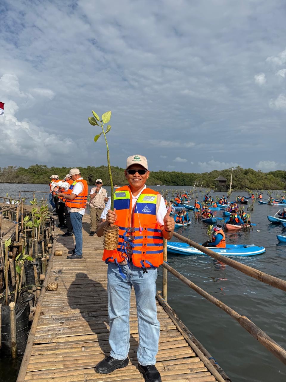
Enviro News Asia, Surabaya — Sea-level rise caused by climate change has become a serious threat to Indonesia as an archipelagic nation. This concern was highlighted in a scientific oration delivered by Prof. Dr. Eko Yuli Handoko, ST., MT., during his inauguration as the 231st Professor of Institut Teknologi Sepuluh Nopember (ITS) Surabaya in the field of Satellite Geodesy.
In his oration titled “Altimetry Satellites and Climate Change: Monitoring Sea-Level Rise in Indonesia,” Eko emphasized the critical role of satellite altimetry as the frontline tool for monitoring the oceans. “Satellite data are the foundation for climate policy. Without precise data, it is difficult for us to design adaptation strategies, build infrastructure, and safeguard national resilience,” he stated in an official ITS release on Friday (September 12, 2025).
Eko explained that a satellite altimeter works by transmitting radar signals toward the sea surface and measuring the time it takes for the signal to bounce back, producing sea-level height data accurate to the centimeter. This technology, he noted, is especially vital for Indonesia, which has more than 17,000 islands. “Satellite altimetry can reach remote areas that cannot be monitored by ground stations,” said the Pringsewu, Lampung native.
However, monitoring coastal areas is often hampered by land interference and shallow waters. To address this, Eko combined altimetry with Global Navigation Satellite System (GNSS) technology and Interferometric Synthetic Aperture Radar (InSAR). This approach generates relative sea-level rise data that better reflect on-the-ground conditions. “The combination of these three technologies makes the data more accurate and useful for coastal communities,” he added.
Eko has also developed methods to improve data quality in tropical regions like Indonesia, where high atmospheric water vapor often disrupts satellite radar signals. By using ground-based GNSS data, he applied a Wet Tropospheric Correction using the GNSS-derived Path Delay (GPD) approach. “This method makes sea-level rise data more reliable, especially for coastal areas,” he noted.
The research offers strategic benefits ranging from coastal spatial planning and protective infrastructure development to tidal flood mitigation. “This information is crucial to safeguarding the nation’s strategic assets in coastal regions,” Eko stressed.
His contribution supports Indonesia’s commitment to the Paris Agreement and advances the Sustainable Development Goals (SDGs), particularly Goal 11 (Sustainable Cities), Goal 13 (Climate Action), and Goal 14 (Life Below Water). Through this innovation, ITS reaffirms its role as a pioneering campus in environmental research with a direct impact on national resilience. (*)