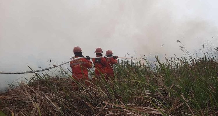
Enviro News Asia, Jakarta – Indonesia has recorded positive progress in forest and land fire (karhutla) control in Sumatra, with Riau Province reporting zero high-confidence hotspots. However, the government is continuing to expand and intensify integrated fire response operations in priority areas of Kalimantan, particularly West Kalimantan and Central Kalimantan.
The Ministry of Forestry said satellite monitoring detected 805 high-confidence hotspots across Indonesia as of 9:31 p.m. local time on Wednesday, September 2, based on data from NASA’s Terra and Aqua satellites, as well as SNPP and NOAA-20 satellites through the SiPongi monitoring system.
Priority areas for forest and land fire control include West Kalimantan, Central Kalimantan, South Kalimantan, East Kalimantan, South Sumatra, Riau, and Jambi.
The Ministry emphasized that hotspot data represent indications of abnormal surface temperature detected by satellites and do not necessarily indicate active fires at every location. Ground verification and rapid response therefore remain essential to determine actual fire conditions.
Integrated Response
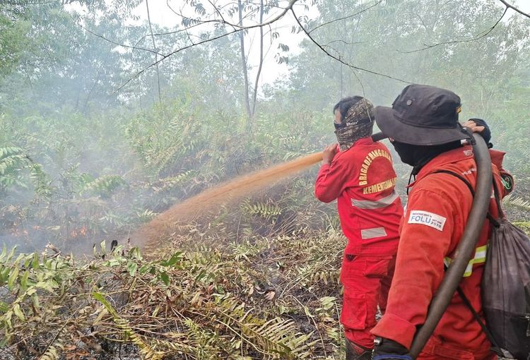
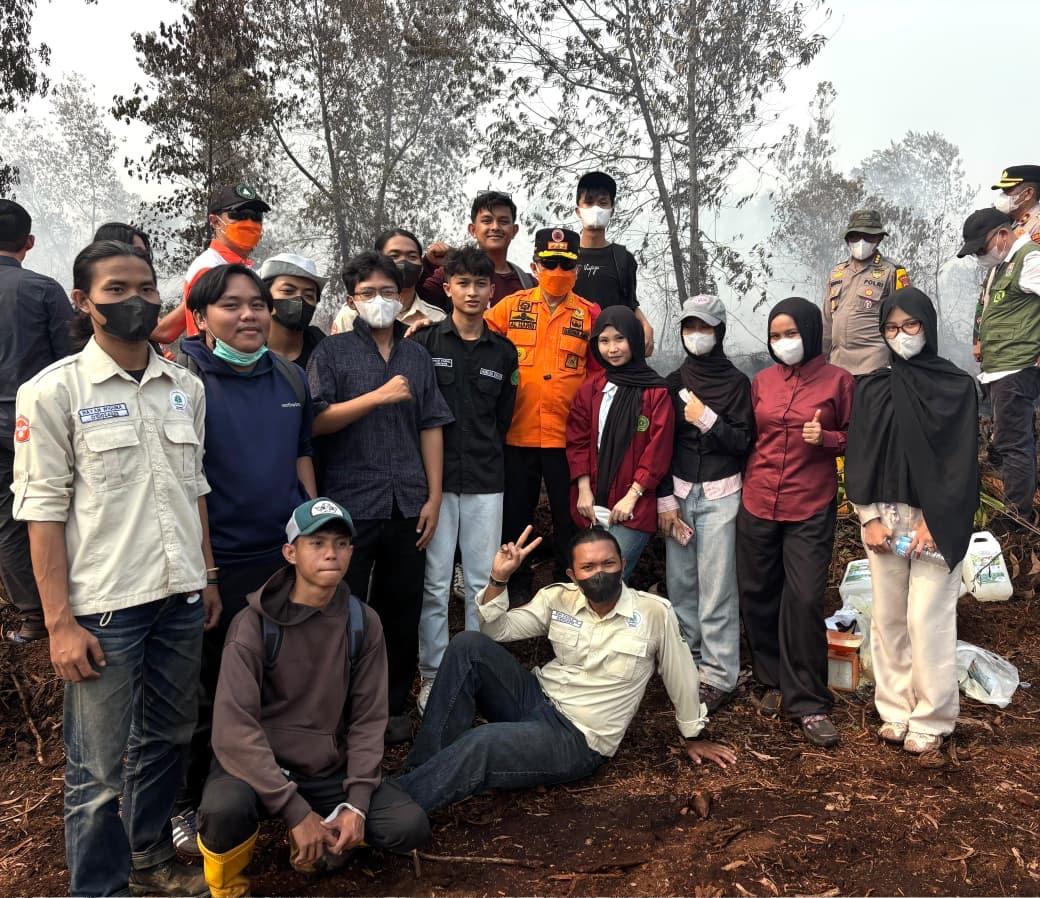
Forest and land fire response operations are being strengthened through cooperation among the Ministry of Forestry’s Manggala Agni firefighting units, the Indonesian Military, Police, BNPB, the Meteorology, Climatology and Geophysical Agency (BMKG), regional disaster management agencies, community fire groups, private-sector companies, and local governments.
A total of 53 aircraft have been deployed to support aerial operations. Nineteen aircraft are assigned to aerial patrols and to support the distribution of seeding materials for Weather Modification Operations (OMC), while another 34 aircraft are dedicated to water-bombing operations targeting fires that are difficult to reach by land.
Weather Modification Operations are also being optimized in priority areas that meet the required meteorological and operational conditions for inducing rainfall.
Air Quality Concerns
BMKG monitoring indicates that most areas of Indonesia, including Sumatra, Java, and Sulawesi, remain within safe air-quality conditions, ranging from Good to Moderate categories.
However, smoke concentrations in several parts of West Kalimantan and Central Kalimantan have pushed air quality into the Very Unhealthy category.
Smoke from forest and land fires has also affected visibility in several locations. According to BMKG observations on September 2, visibility in Pontianak, West Kalimantan, dropped significantly to around 200 meters in the morning due to dense smoke before gradually improving as wind direction and daytime temperatures changed.
Palangka Raya and parts of Central Kalimantan also experienced hazy conditions and limited visibility.
The Ministry said visibility conditions remain highly dynamic and can change rapidly depending on wind direction, local rainfall, and smoke intensity. Ground and aerial task forces are therefore maintaining real-time coordination to support flight safety and protect public activities.
The Ministry of Forestry urged communities and businesses not to clear or open land using fire. Residents in smoke-affected areas were also advised to reduce outdoor activities and use protective masks when necessary.
Members of the public who observe signs of forest or land fires or smoke are encouraged to report them to the Ministry of Forestry’s Forest and Land Fire Command Center through its official reporting channels. (*)