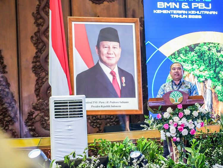


Enviro News Asia, Jakarta — Indonesia’s Ministry of Forestry is maintaining a high level of readiness to control forest and land fires despite a decline in hotspots across several provinces, as fire activity remains dynamic in parts of Sumatra and Kalimantan.
The latest monitoring data from the ministry’s SiPongi system recorded 18,065 hotspots nationwide on August 28, 2026, up from 14,788 hotspots a day earlier. However, hotspot numbers declined in several provinces, including South Sumatra, Riau, and Jambi.
The ministry said it continues to strengthen forest and land fire control operations in six priority provinces: Central Kalimantan, West Kalimantan, South Kalimantan, South Sumatra, Jambi, and Riau.
Hotspot data are monitored using observations from NASA’s Terra and Aqua satellites, as well as the SNPP and NOAA-20 satellites. The ministry stressed that hotspot data indicate surface-temperature anomalies detected by satellites and do not automatically represent confirmed fires. Ground verification remains necessary to determine actual fire conditions.
On August 28, the largest increases were recorded in several Kalimantan provinces. Central Kalimantan saw hotspots rise from 5,041 to 7,703, while West Kalimantan increased from 2,165 to 3,384. South Kalimantan also recorded an increase from 899 to 1,354 hotspots.
The situation was different in parts of Sumatra. South Sumatra recorded a decline from 1,281 to 1,036 hotspots.
Riau also remained well below its peak levels earlier in the week. After recording 491 hotspots on August 23 and 447 on August 24, the province recorded 265 hotspots on August 28.
Jambi recorded a similar decline, falling from 437 hotspots on August 23 and 361 on August 24 to 86 hotspots on August 28.
The Ministry of Forestry attributed the progress in several areas to continued cooperation among Manggala Agni, local governments, the Indonesian military and police, regional disaster management agencies, firefighters, community fire groups, businesses, and local residents.
However, officials warned that declining hotspot numbers in some provinces should not lead to reduced vigilance because fire conditions can change rapidly.
Field operations in the six priority provinces are being directed toward areas where fires could spread rapidly, approach residential settlements, disrupt public facilities, or generate significant smoke impacts.
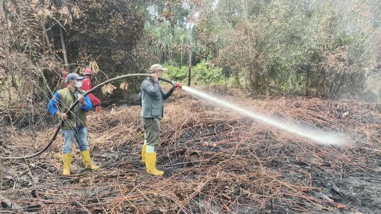
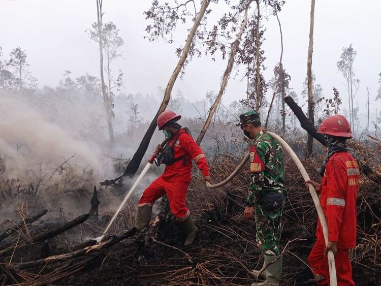
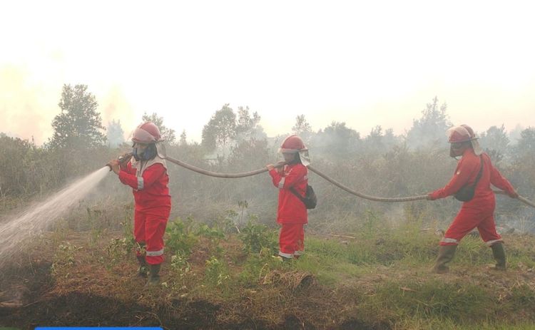
Fire suppression teams are conducting patrols, ground verification, direct firefighting, firebreak construction, mopping-up operations, and cooling activities. In peatland areas, repeated extinguishing and cooling operations are being conducted to prevent underground fires and embers from reigniting.
The government is also maintaining aerial support for water-bombing operations and aerial patrols. Weather Modification Operations are being pursued in areas and periods where meteorological conditions are considered suitable.
Visibility remained reduced by smoke in several provincial capitals on the morning of August 29.
The Meteorology, Climatology and Geophysical Agency (BMKG) recorded visibility of approximately 3 kilometers in Palangka Raya at 7 a.m. local time, 0.8 kilometers in Pontianak at 6:30 a.m., 0.5 kilometers in Banjarmasin at 8 a.m., 6 kilometers in Palembang at 7 a.m., 0.8 kilometers in Jambi at 7 a.m., and 2.5 kilometers in Pekanbaru at 7 a.m.
The varying visibility conditions highlight the continuing impact of smoke in several fire-prone areas, even as hotspot activity declines in some locations.
The Ministry of Forestry urged residents not to use fire to clear or prepare land and encouraged communities to immediately report smoke, visible flames, or other indications of forest and land fires.
Residents in smoke-affected areas were also advised to follow official information on air quality and visibility and adjust outdoor activities when environmental conditions deteriorate.
Reports of fires or suspected hotspots can be submitted to the Ministry of Forestry’s Forest and Land Fire Command Center through its official reporting channels.
The government emphasized that effective forest and land fire management requires both rapid response and preventive action. Continued monitoring, early ground verification, firefighting readiness, aerial support, and community participation remain essential to preventing individual fire incidents from developing into larger disasters.
With fire conditions continuing to fluctuate across Indonesia’s priority provinces, authorities are maintaining full readiness while closely monitoring developments on the ground and through satellite-based detection systems. (*)