Enviro News Asia, Rome — The Food and Agriculture Organization of the United Nations (FAO) has released a new set of forest monitoring guidelines aimed at improving the identification and mapping of tree-based agricultural commodities, including cocoa, coffee, rubber, and palm oil. The guidance, launched during the GeoField 2026 Convening, seeks to strengthen transparency in agricultural supply chains and help distinguish natural forests from cultivated tree crop systems.
The publication, titled Forest Monitoring Good Practices: Mapping Tree Crop Commodities, provides a comprehensive framework for using Earth observation technologies and geospatial data to accurately monitor tree crop production areas. The initiative comes as international markets increasingly require evidence that agricultural commodities are not associated with deforestation.
FAO Assistant Director-General and Director of the Forestry Division, Zhimin Wu, said the guidance arrives at a crucial moment as governments, businesses, and consumers demand greater accountability in the sourcing of agricultural products.
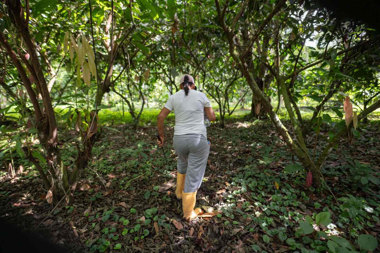
The guidelines address a long-standing challenge in forest monitoring. From satellite imagery, agroforestry systems such as shaded cocoa plantations and coffee farms often appear similar to natural forests, making it difficult to distinguish between productive agricultural landscapes and intact forest ecosystems.
FAO noted that tree crop commodities represent some of the most valuable agricultural products traded globally and are predominantly produced in tropical countries. Smallholder farmers account for around 80 percent of global coffee production, while cocoa remains a major source of income for rural households in countries such as Ghana and Côte d’Ivoire.
The organization warned that many smallholders cultivate irregularly shaped plots beneath dense forest canopies, making accurate mapping difficult. Without reliable data, these producers risk being excluded from international markets that increasingly require transparent and sustainable sourcing information.
To improve accuracy, FAO recommends a “convergence of evidence” approach that combines satellite imagery with field-level information. The methodology integrates optical satellite data, radar systems, drone imagery, field surveys, and local expertise to better identify tree crop landscapes.
The guidance also encourages the use of advanced algorithms and artificial intelligence to detect planting patterns and distinguish managed agricultural systems from naturally occurring forests. It further recommends standardized definitions for forests, land use, and land cover to improve consistency and comparability across countries and regions.
FAO emphasized the importance of transparency by encouraging the publication of metadata alongside mapping products, allowing users to understand how maps were produced and recognize any limitations in the data. The organization also stressed that data-sharing practices must comply with applicable privacy regulations.
Developed through collaboration between public and private sector stakeholders, the publication advocates for greater access to open data as a means of supporting sustainable commodity production, responsible supply chains, and improved forest conservation outcomes worldwide. (*)