Enviro News Asia, Jakarta — Indonesia needs to enhance its cross-seasonal preparedness as disaster risks are projected to shift from droughts, forest fires, and land fires during September–October 2026 toward the threats of floods, landslides, and extreme weather from November 2026 through February 2027.
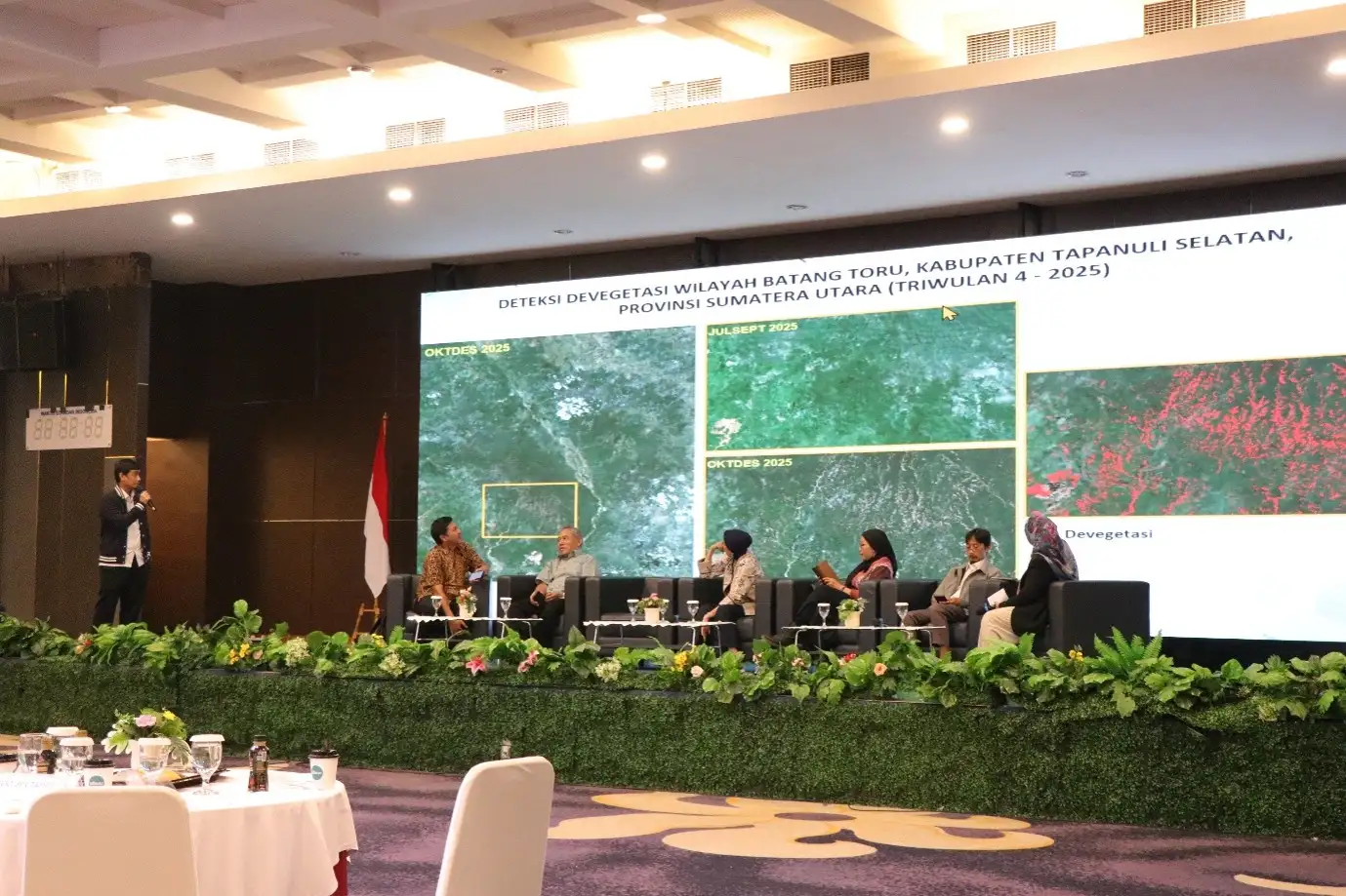
Climate, environmental, and geospatial observer Asep Karsidi stated that this changing hazard landscape indicates disaster management cannot cease once forest and land fires (karhutla) are brought under control.
According to him, Indonesia is facing a “climate hazard transition”—a gradual shift from dry hazards to wet hydrometeorological hazards.
”Disaster risks do not end with the dry season; rather, they transform from drought hazards into wet hydrometeorological hazards,” Asep stated in his official release in Jakarta on Thursday.
Based on an evaluation of reports from the Agency for Meteorology, Climatology, and Geophysics (BMKG) and the NOAA Climate Prediction Center, Indonesia’s weather and climate conditions in September–October 2026 require serious attention.
In the third ten-day period (Dasarian III) of August 2026, sea surface temperature anomalies in the Niño3.4 region reached approximately +2.74 degrees Celsius. The three-month average from June to August 2026 reached +2.20 degrees Celsius, categorizing it as a very strong El Niño event.
NOAA also indicated that El Niño is continuing to intensify, with a more than 90 percent probability of developing into a very strong event by late 2026. Atmospheric conditions have been evident through weakened cloud formation and reduced rainfall over Indonesia since June 2026.
”Indonesia is not merely experiencing an ordinary dry season. This dry season is amplified by global climate anomalies, resulting in a widespread and prolonged rainfall deficit,” Asep explained.
By late August, approximately 92.8 percent of Indonesia experienced low rainfall, while 93.96 percent recorded below-normal rainfall characteristics. Furthermore, 81.1 percent of Indonesia’s Seasonal Zones (Zona Musim) had entered the dry season.
BMKG predicts that low rainfall will continue to dominate throughout the three dasarian of September. Regions requiring heightened vigilance include southern Sumatra, Java, Bali, West Nusa Tenggara, East Nusa Tenggara, the majority of Kalimantan, Sulawesi, Maluku, and several areas in Papua.
According to Asep, September represents the most critical phase because low precipitation coincides with increasingly long dry spells (hari tanpa hujan), high daytime temperatures, low humidity, and the drying of vegetation and organic matter.
These conditions elevate the risk of drought, reduced water availability, and the expansion of forest and land fires, particularly in the peatlands of Sumatra and Kalimantan, as well as regions with a history of recurrent fires.
Asep reminded that El Niño does not directly ignite fires. The majority of ignition sources remain tied to human activities, such as land clearing and management using fire, negligence, or escaped fires from neighboring areas.
”El Niño does not directly ignite fires, but drought creates an environment where a small spark can escalate into a massive wildfire,” he said.
As rainfall decreases, soil moisture and vegetation moisture levels drop accordingly. In peatland ecosystems, this leads to a lowering of the groundwater table, causing peat and organic material to become dry, highly flammable, and difficult to extinguish.
Peat fires can spread both horizontally and vertically beneath the soil surface, resurfacing in other locations. Peat fires also produce dense smoke and fine particulate matter (PM2.5) that can be carried far from the source by winds, threatening public health.
High-priority areas include peatlands in South Sumatra, Bangka Belitung, Riau, Jambi, Central Kalimantan, South Kalimantan, and East Kalimantan.
Meanwhile, in Java, Bali, and Nusa Tenggara, drought is more likely to trigger clean water crises, agricultural disruptions, declining river and reservoir levels, forest and bush fires, and reduced livestock feed availability.
The threats of drought and land fires are not expected to end immediately in October. Low rainfall is still anticipated in southern Sumatra, Java, Bali, Nusa Tenggara, southern Kalimantan, parts of Sulawesi, southern Maluku, and South Papua.
Asep noted that the potential development of a positive Indian Ocean Dipole phase also warrants close monitoring, as it could further suppress moisture supply from the Indian Ocean and intensify dry conditions, particularly in western and southern Indonesia.
By November, areas experiencing extremely low rainfall are projected to shrink. However, precipitation will not immediately return to normal or be evenly distributed across the country.
During this transition period, hot and dry days may be interspersed with brief torrential rains, lightning, and strong winds. While drought and fire risks remain, the potential for localized flooding and extreme weather will begin to rise.
From December 2026 to February 2027, several regions are expected to transition into wetter conditions. Monthly rainfall exceeding 300 millimeters is likely in parts of Sumatra, Kalimantan, Java, Sulawesi, and Papua.
Following months of drought, the ground surface may harden, significantly reducing its water absorption capacity. When heavy rains begin to fall, surface runoff will form more easily, elevating the risk of floods, flash floods, and landslides.
Therefore, Asep urges the government and all stakeholders to prepare a dynamic preparedness system tailored to shifting seasonal risks.
To address the dry phase, integrated monitoring must cover rainfall, consecutive dry days, soil moisture, peat water table levels, fire danger rating indices, hotspots, and wind direction.
Patrols should prioritize drained peatlands, concession areas, plantations, and fire-prone villages. Peat rewetting—conducted through water level management, canal blocking, retention basins, tube wells, and water distribution—must take place before fires occur.
The deployment of personnel, pumps, hoses, heavy equipment, water sources, and medical support should be aligned with vulnerability maps. Prevention of ignition sources must also be strengthened through regulatory enforcement, public education, and concrete support for zero-burning land clearing methods.
Weather Modification Operations (OMC) can be deployed when seedable clouds are present, but they should serve as a supplementary measure rather than a replacement for peat hydrology management and ignition prevention.
”The severity of a disaster depends heavily on our capability to prevent ignition sources and preserve land moisture,” Asep emphasized.
Public health protections must also be established, particularly for children, the elderly, pregnant women, and individuals with respiratory conditions vulnerable to smoke exposure and PM2.5.
Moving into November through February, preparedness must gradually shift toward clearing drainage systems, strengthening early warning systems for floods and landslides, assessing river basins, and ensuring readiness for heavy rainfall and severe winds.
Asep stressed that while the situation is serious, it remains manageable if preventive measures are executed early, in a coordinated manner, and grounded in regional weather, hydrological, and geospatial data.
”September and October must not be treated as a routine firefighting period. We must keep the landscape wet, eliminate ignition sources, and prevent fires before they form,” he concluded.
Cross-seasonal preparedness is essential to ensure Indonesia is not only equipped to handle peak droughts and wildfires, but also ready to anticipate the shifting risks toward floods, landslides, and extreme weather from late 2026 into early 2027. (*)