Enviro News Asia, Jakarta — Indonesia recorded a sharp decline in high-confidence forest and land fire hotspots on September 21, but authorities continued to strengthen fire control operations in Central Kalimantan amid persistent smoke and challenging conditions.
Data from the Forestry Ministry’s SiPongi system, based on observations from NASA Terra/Aqua, SNPP and NOAA-20 satellites, showed 688 high-confidence hotspots nationwide as of 9:10 p.m. local time on September 21. The figure fell by 844 from 1,532 hotspots recorded the previous day.
Among six priority provinces, Central Kalimantan recorded 228 hotspots, down from 968. South Kalimantan recorded 71, up from 39, while West Kalimantan fell from 98 to 36. South Sumatra dropped from 285 to 23, Jambi from 26 to two, and Riau from one to zero.
Combined, the six priority provinces recorded 360 high-confidence hotspots, down from 1,417 a day earlier, representing a decline of about 74.6 percent.
Despite the overall decline, Central Kalimantan continued to record the highest number of hotspots among the six priority provinces. South Kalimantan was the only province in the group to report an increase.
The Forestry Ministry emphasized that satellite-detected hotspots indicate surface temperature anomalies and cannot automatically be interpreted as confirmed fires or burned areas. Each indication requires ground verification and assessment of actual conditions in the field.
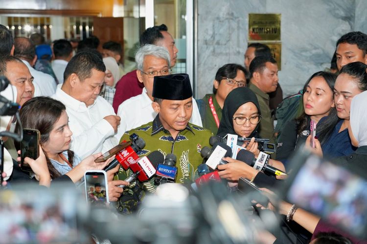
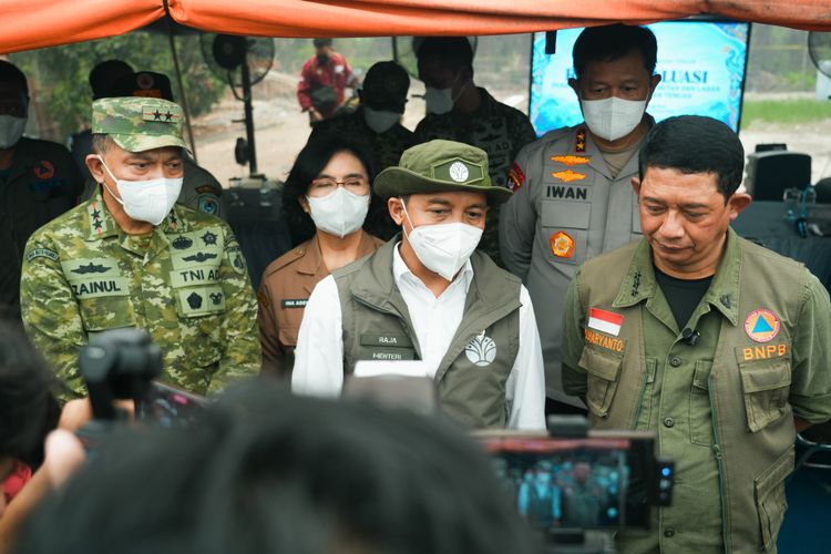
Forestry Minister Raja Juli Antoni and National Disaster Management Agency (BNPB) Head Lt. Gen. Suharyanto directly reviewed fire control operations in Central Kalimantan on September 21.
Their flight, initially scheduled to land in Palangka Raya, was diverted to Syamsudin Noor Airport in South Kalimantan because of heavy smoke. The officials then traveled by road to Pulang Pisau, Central Kalimantan.
At the Peat Tumbang Nusa Camp, Raja Juli and Suharyanto led an evaluation meeting involving the Forestry Ministry, BNPB, local government, military, police and other agencies.
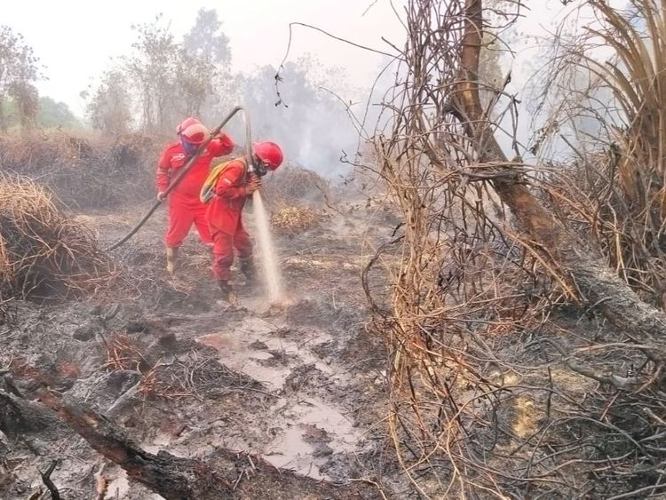
Suharyanto reported that ground teams had extinguished about 150 hectares of an estimated 180 hectares that had previously burned, while approximately 30 hectares remained under control efforts. Fire suppression remains challenging in peatlands because underground embers can reignite after surface fires have been extinguished.
The government continues to deploy 64 aircraft and helicopters across Sumatra and Kalimantan for fire control. The fleet includes patrol helicopters, CASA aircraft supporting Weather Modification Operations and water-bombing helicopters.
Aerial operations are adjusted according to fire conditions, cloud potential, visibility, wind direction and aviation safety. In Central Kalimantan, smoke temporarily restricted operations from Tjilik Riwut Airport, prompting authorities to adjust the bases for weather modification operations using Syamsudin Noor Airport and Pangkalan Bun based on visibility and cloud potential forecasts from the Meteorology, Climatology and Geophysics Agency (BMKG).
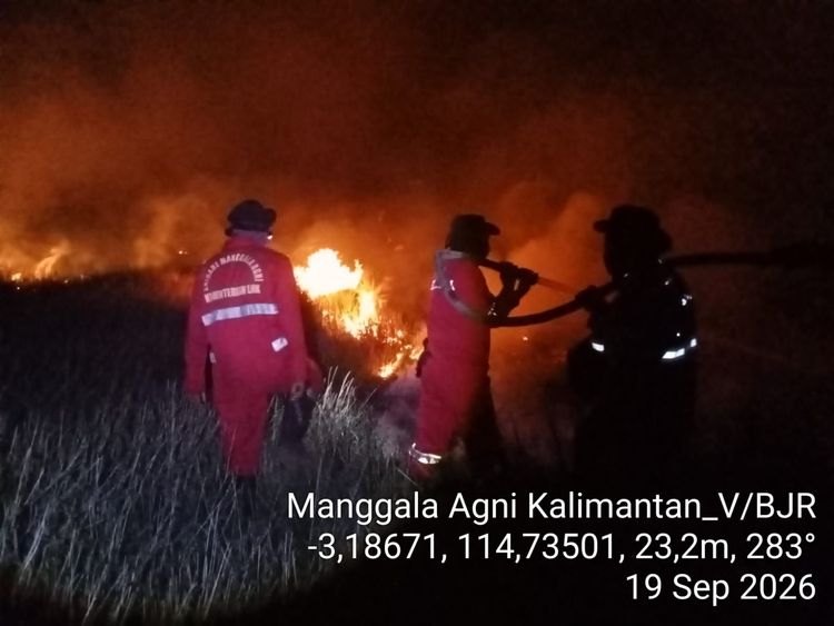
On the ground, Manggala Agni personnel are working with the military, police, BNPB, regional disaster agencies, local governments, communities, businesses and volunteers. Their activities include patrols, ground checks, direct firefighting, fire containment, wetting, mopping up and cooling operations.
Alongside operational measures, the Forestry Ministry has also strengthened law enforcement. On September 21, Raja Juli announced the revocation of business permits held by five forest utilization business license (PBPH) holders in West Kalimantan, South Kalimantan and Central Kalimantan.
The five concessions cover a combined area of about 92,464 hectares, while the ministry reported a total burned area of approximately 1,169 hectares across the concessions.
Raja Juli said PBPH holders have obligations to protect their concession areas and implement fire prevention and control measures required under their permits. He said the permit revocations were part of the government’s enforcement efforts in response to violations.
Air quality remains a concern despite the decline in hotspots. PM2.5 monitoring showed varying conditions across Indonesia, with most areas in the good to moderate categories, while several locations in Sumatra and Kalimantan remained unhealthy to very unhealthy. Some areas in Kalimantan reached hazardous levels.
In Central Kalimantan, smoke continued to affect public activities and air transportation on September 21. Visibility at Tjilik Riwut Airport fell to around 400 meters in the morning, causing flight delays and cancellations.
The Forestry Ministry said a decline in hotspots does not immediately mean that smoke has disappeared or that all fires have been extinguished. In peat ecosystems, embers can remain below the surface, while existing smoke can persist and move with wind and atmospheric conditions.
Authorities urged residents in affected areas to monitor air-quality information and follow local government guidance. People were advised to reduce outdoor activities and wear masks when necessary, with particular attention to children, pregnant women, older adults and people with respiratory or chronic illnesses.
The government also reminded communities and businesses not to clear or prepare land by burning and called on permit holders to maintain effective fire prevention, early detection, personnel readiness and fire control systems. (*)