Enviro News Asia, Jakarta — Recent monitoring by the Ministry of Forestry revealed zero high-confidence thermal hotspots detected in Riau and Jambi as of September 1, 2026, at 9:25 PM WIB. Despite this positive development, the Ministry of Forestry continues to reinforce forest and land fire (karhutla) control operations, particularly in West Kalimantan and Central Kalimantan, which maintain high hotspot concentrations.
Based on Ministry of Forestry SiPongi data sourced from NASA Terra/Aqua, SNPP, and NOAA-20 satellites, 1,370 high-confidence hotspots were detected nationally on September 1, 2026, at 9:25 PM WIB, marking an increase compared to monitoring on August 31, 2026. Across the six priority provinces, high-confidence hotspots were distributed as follows:
- West Kalimantan: 570 points;
- Central Kalimantan: 488 points;
- South Kalimantan: 64 points;
- South Sumatra: 19 points;
- Riau: 0 points; and
- Jambi: 0 points.
While zero high-confidence hotspots in Riau and Jambi mark a positive trend that authorities aim to maintain, heavy hotspot concentrations in West Kalimantan and Central Kalimantan have prompted officials to focus vigilance and suppression resources on the Kalimantan region.
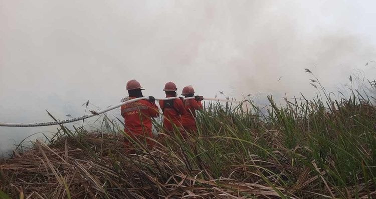
The Ministry emphasized that satellite hotspots represent surface temperature anomalies rather than confirmed individual fires. A single fire event can register as multiple hotspots, requiring field verification through ground checks and actual site monitoring. Together with joint task forces, the Ministry continues ground suppression, patrols, ground checks, firebreak construction, mopping up, cooling, and prevention in areas prone to reignition across the six priority provinces: Riau, Jambi, South Sumatra, South Kalimantan, Central Kalimantan, and West Kalimantan.
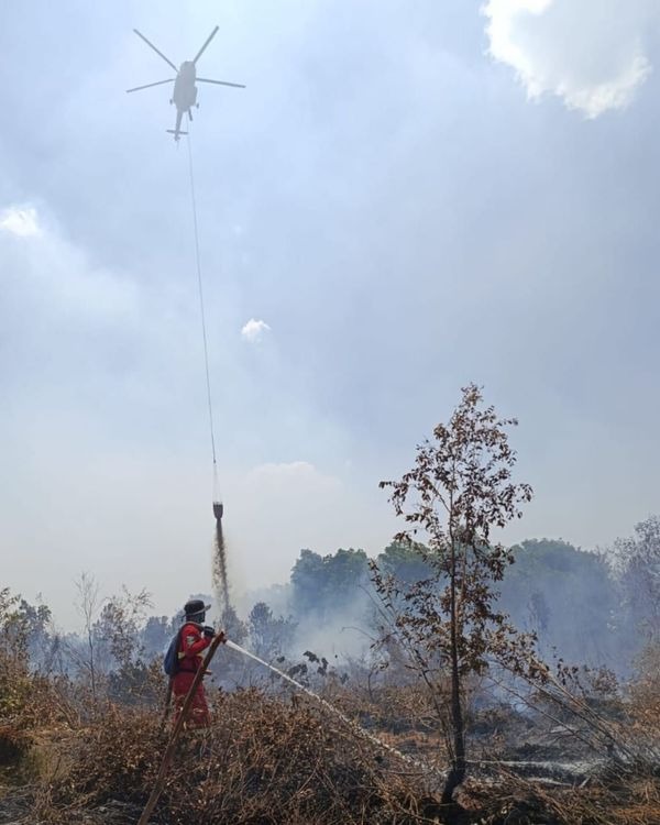
In addition to ground operations, the government has deployed 53 aerial units across the six priority provinces to accelerate fire suppression, suppress spread risks, and protect communities and ecosystems. Of this fleet, 19 aircraft are allocated for air patrols and Weather Modification Technology (OMC) operations, while 34 aircraft are dedicated to water-bombing. OMC efforts are continuously executed whenever meteorological conditions permit.
Control operations involve Kemenhut’s Manggala Agni firefighters alongside the Military (TNI), National Police (Polri), BNPB, BMKG, BPBD, local governments, private concessionaires, communities, and other stakeholders. Early detection and prevention are reinforced using weather data, early warning systems, and observational networks to guide operational decision-making.
Alongside hotspot tracking and suppression, the government actively monitors air quality and haze impacts. PM2.5-based monitoring indicates that air quality across most of Indonesia remains in the good to moderate categories, although several areas in Kalimantan register air quality ranging from unhealthy to very unhealthy.
Atmospheric conditions have caused visibility degradation across parts of Kalimantan. According to BMKG data for September 1, 2026, haze in Pontianak reduced visibility to approximately 2 kilometers at 7:00 AM WIB. In Banjarmasin, hazy conditions reduced visibility to around 4 kilometers during the early hours of September 1 before improving to 8 kilometers by morning. Similar hazy conditions were observed across multiple areas in West Kalimantan.
Because visibility varies between regions and shifts rapidly based on smoke concentrations, wind speed and direction, rainfall, and atmospheric dynamics, authorities continuously integrate data on hotspots, active fires, air quality, haze distribution, weather, and visibility to set operational priorities. (*)