Enviro News Asia, Jakarta — High-confidence thermal hotspots across Indonesia recorded another sharp decline on Wednesday night, September 16, 2026. Data from the Ministry of Forestry (Kemenhut) detected 479 high-confidence hotspots nationwide, representing a drop of 558 points compared to the previous day. Despite this reduction, Kemenhut and joint task forces continue to escalate frontline operations as fire risks, haze impacts, and severe threats to wildlife habitats persist across affected provinces.
Monitoring via Kemenhut’s SiPongi satellite system—sourced from NASA Terra/Aqua, SNPP, and NOAA-20—showed single-day hotspot decreases across all six priority provinces as of September 16 at 9:00 PM WIB:
- South Sumatra: 123 points (down from 245);
- Central Kalimantan: 102 points (down from 266);
- West Kalimantan: 21 points (down from 43);
- Jambi: 12 points (down from 62);
- South Kalimantan: 11 points (down from 72); and
- Riau: 11 points (down from 15).
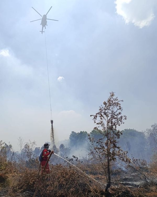
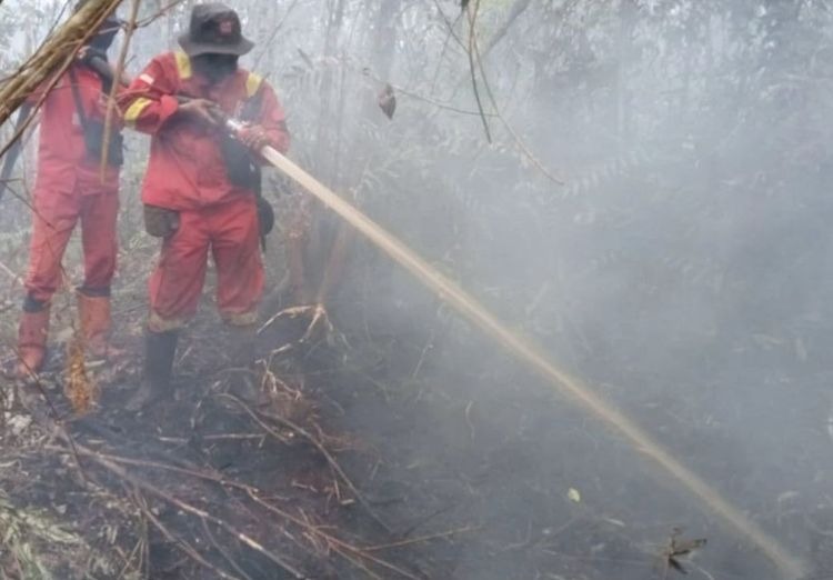
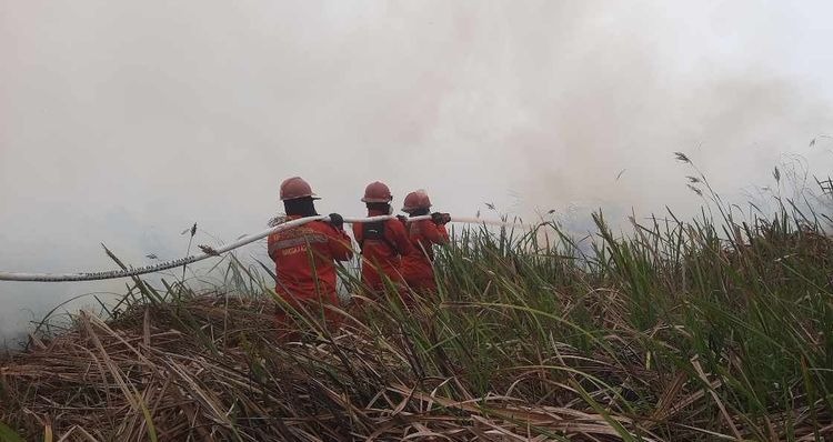
Significant declines were recorded across Central Kalimantan, South Kalimantan, Jambi, and South Sumatra. However, South Sumatra and Central Kalimantan still maintain the highest hotspot concentrations among priority regions, requiring sustained patrolling, ground checks, direct suppression, rewetting, and cooling. Kemenhut reiterates that satellite hotspots indicate surface temperature anomalies that require direct field verification. Frontline firefighting continues through joint efforts involving Manggala Agni, the Military (TNI), National Police (Polri), BNPB, BMKG, BPBD, local governments, private concessionaires, and volunteer groups.
Aerial support remains anchored by 53 aircraft deployed across the priority provinces, including 34 water-bombing units and 19 aircraft allocated for aerial patrols and Weather Modification Technology (OMC) cloud-seeding. Operating alongside national assets are three CH-47 Chinook heavy-lift helicopters provided by Japan. However, BNPB reported on September 16 that Chinook suppression sorties are strictly bound by flight safety protocols, as dense haze and limited visibility in West Kalimantan temporarily restrict aerial operations until conditions improve.
Beyond environmental and human impacts, wildfires continue to displace native fauna from destroyed habitats. Through the Natural Resources Conservation Agency (BKSDA) and conservation partners, Kemenhut has intensified field patrols, wildlife tracking, and rescue missions. In West Kalimantan, BKSDA alongside International Animal Rescue Indonesia (YIARI) has rescued 21 orangutans and 12 other wild animals, including pangolins, proboscis monkeys, grey langurs, Bornean slow lorises, and Malay civets. Medical teams remain on 24-hour standby while rescue personnel monitor burned forest perimeters.
The Ministry strongly advises the public against capturing or attempting to evacuate displaced wildlife independently. Citizens who encounter wildlife fleeing fire zones are requested to contact authorities immediately, provide exact location details and animal descriptions, safely document the sighting if possible, and allow professional rescue teams to handle the extraction.
For Kalimantan regions, wildlife rescue hotlines have been established:
- West Kalimantan BKSDA: +62 811-577-6767
- Central Kalimantan BKSDA: +62 811-5218-500
- East Kalimantan BKSDA: +62 821-1333-8181
PM2.5 monitoring indicates varied air quality nationwide; while most regions maintain good to moderate levels, parts of Sumatra and Kalimantan remain in unhealthy to very unhealthy categories, with localized zones hitting hazardous ratings. BMKG aviation weather reports on September 16 logged visibility at 5 kilometers in Pontianak (hazy), 8 kilometers in Pekanbaru, 9 kilometers in Jambi, and 10 kilometers or higher in Palangka Raya, Banjarmasin, and Palembang. However, atmospheric conditions remain volatile; BMKG forecasts hazy weather around Pontianak’s Dwikora Port on the morning of September 17 with visibility dropping to 1 kilometer. (*)