Enviro News Asia, Jakarta — Indonesia’s Ministry of Forestry (Kemenhut) has reported a sharp decline in high-confidence forest and land fire hotspots in West Kalimantan, although fire activity remains dynamic across six priority provinces.
Data from Kemenhut’s SiPongi monitoring system recorded 569 high-confidence hotspots nationwide as of 9:05 p.m. local time on September 10, 2026, up from 395 hotspots recorded the previous day.
The latest figures were derived from NASA Terra and Aqua satellites, as well as SNPP and NOAA-20 satellites.
Among the six priority provinces monitored for forest and land fires, Central Kalimantan recorded the highest number of high-confidence hotspots with 96 points, followed by West Kalimantan with 39, South Sumatra with 34, Riau with 18, South Kalimantan with nine, and Jambi with two.
West Kalimantan recorded the most significant improvement, with its high-confidence hotspots falling from 134 to 39 within one day.
The sharp decline provides a positive indication, but Kemenhut stressed that hotspot data remain dynamic and can change rapidly depending on weather conditions and the availability and dryness of vegetation and other fuels.
A satellite-detected hotspot indicates a surface temperature anomaly and does not automatically represent an active fire. A single fire can also generate several hotspot detections. Authorities therefore conduct ground verification before determining the actual fire situation.
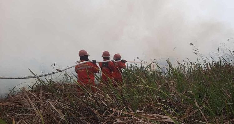
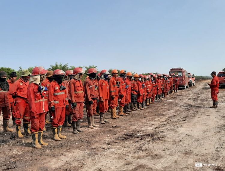
Kemenhut’s Manggala Agni fire brigades, together with the Indonesian Military, National Police, National Disaster Management Agency, Meteorology, Climatology and Geophysics Agency, regional disaster agencies, local governments, communities and businesses, continue to conduct patrols and ground checks.
Teams are also carrying out direct firefighting, firebreak operations, mopping-up and cooling measures at locations where fires could reignite.
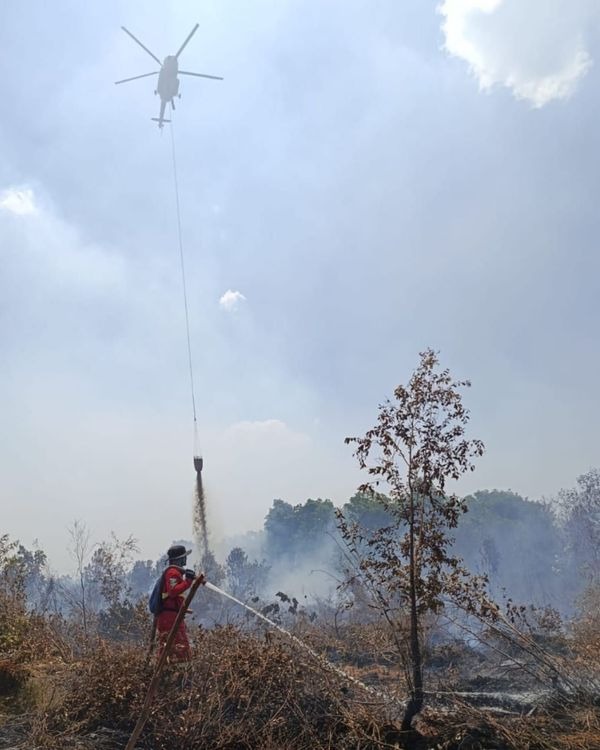
The government has deployed 53 aircraft to support fire-control operations across Riau, Jambi, South Sumatra, South Kalimantan, Central Kalimantan and West Kalimantan. Of these, 34 aircraft are assigned to water-bombing operations, while 19 support aerial patrols and weather modification operations.
Aircraft deployment is adjusted according to hotspot monitoring, field verification, fire development and meteorological conditions. Weather modification operations remain on standby to exploit suitable cloud formations and increase rainfall over areas requiring additional wetting.
Peatlands remain a particular concern because fires can continue smoldering below the surface even after visible flames have disappeared. Fire-control teams therefore continue wetting and cooling operations in peat ecosystems to prevent renewed ignition.
Air quality monitoring also remains part of the government’s response. While most areas of Indonesia recorded good to moderate air quality based on PM2.5 measurements, several areas in Sumatra and Kalimantan experienced unhealthy to very unhealthy conditions, with some areas reaching hazardous levels.
Smoke also continued to affect visibility in several priority areas on September 10. Meteorological observations at 10 a.m. local time recorded visibility of about 1.2 kilometers in smoky conditions in Pontianak, three kilometers in Palangka Raya and two kilometers in Jambi.
Pekanbaru recorded visibility of about six kilometers under partly cloudy conditions, while Palembang recorded 10 kilometers or more. Banjarmasin also recorded visibility of at least 10 kilometers at 11 a.m. Central Indonesia Time under partly cloudy conditions.
Kemenhut said limited visibility in Pontianak and Palangka Raya requires continued attention. Visibility can change quickly depending on smoke concentration, wind direction and speed, humidity, rainfall and fire activity.
The ministry continues to integrate hotspot data, field fire conditions, air quality, weather, rainfall, smoke distribution and visibility to determine operational priorities.
Kemenhut has also urged communities not to clear or open land using fire and to immediately report smoke, visible flames or other indications of fire so authorities can respond at an early stage. (*)