Enviro News Asia, Jakarta — Indonesia’s Ministry of Forestry is intensifying forest and land fire prevention and suppression in Central Kalimantan and South Sumatra after both provinces recorded sharp increases in high-confidence satellite hotspots, despite a slight national decline.
Data from the Ministry’s Forest and Land Fire Early Detection and Control Information System (SiPongi), recorded at 9 p.m. local time on October 7, 2026, showed 1,176 high-confidence hotspots nationwide. The figure was down by 25 from 1,201 hotspots recorded on October 6, based on observations from NASA Terra/Aqua, NASA SNPP and NASA NOAA-20 satellites.
Central Kalimantan recorded 225 hotspots, up from 182 the previous day, while South Sumatra rose to 224 from 71. West Kalimantan recorded 47, up from 34, and South Kalimantan had 31, compared with 18 previously. Jambi recorded 16 hotspots, down from 21, while Riau reported none on both days.
The Ministry said the figures highlight the need for stronger field monitoring, patrols and ground verification, particularly in Central Kalimantan and South Sumatra.
Satellite hotspots indicate surface temperature anomalies and do not necessarily represent individual fire incidents or the total area burned. A single fire can generate multiple hotspot detections, making on-site verification essential to establish actual conditions and determine appropriate responses.
Ground and Aerial Operations Intensified
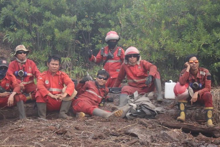
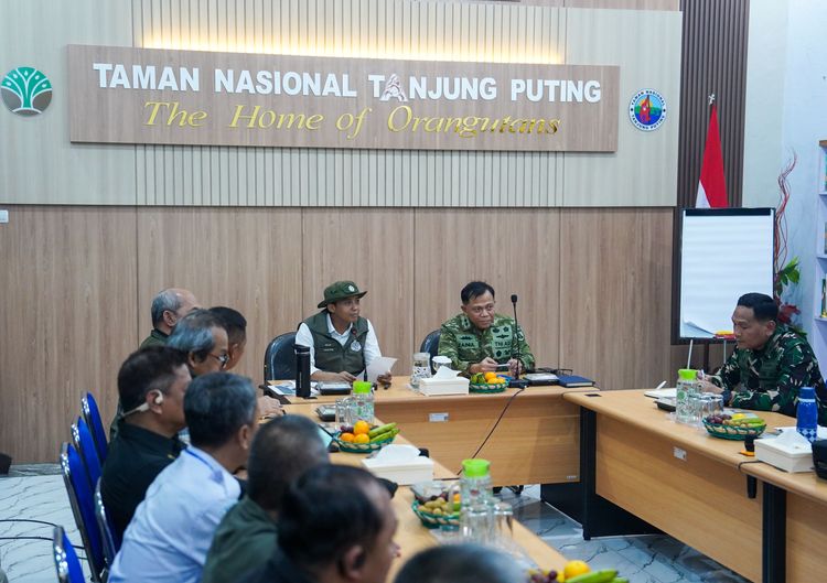
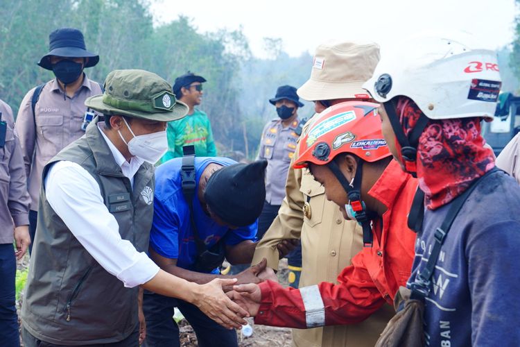
The Ministry is coordinating fire-control operations through Manggala Agni, the National Disaster Management Agency (BNPB), the Indonesian Military (TNI), the National Police, the Meteorology, Climatology and Geophysics Agency (BMKG), regional disaster management agencies, local governments, communities, volunteers and businesses.
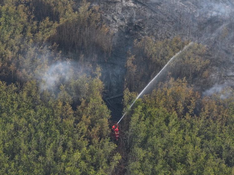
The government has kept 61 aircraft on standby, comprising 17 units for patrols and weather modification operations and 44 for water bombing.
Aerial operations are being combined with ground patrols, site inspections, direct firefighting, firebreaks, wetting and cooling operations, and mop-up activities to eliminate remaining sources of combustion.
Peatland areas remain a particular concern because embers can persist and spread underground even after surface flames disappear. Fire crews must therefore continue wetting and cooling affected areas until they are confirmed safe.
Air Quality and Wildlife Protection
The government is also monitoring air quality through concentrations of fine particulate matter known as PM2.5. Recent monitoring showed air quality ranging from good to moderate in some areas, while parts of Sumatra, Kalimantan, Java and Papua experienced unhealthy to very unhealthy conditions. Some areas of Kalimantan also recorded hazardous air quality.
Residents in affected areas are advised to follow official air-quality updates and local government guidance. If conditions deteriorate, people should reduce outdoor activities and wear masks when going outside. Children, pregnant women, older people and those with respiratory conditions or chronic illnesses require particular attention.
Forest and land fires can also damage wildlife habitats, reduce food availability and disrupt animal movement. The Ministry, through the Natural Resources Conservation Agency (BKSDA) and other relevant units, continues to monitor and respond to affected wildlife.
Anyone encountering injured or trapped wild animals, animals affected by fires or wildlife entering residential areas should avoid handling or attempting to evacuate them independently. Residents should keep their distance, record the location and condition of the animal if possible, and immediately notify the nearest BKSDA office or forestry officer.
The Ministry has reiterated its call for communities and businesses to avoid clearing or opening land by burning. It stressed that national hotspot totals can decline even as detections increase in particular regions, underscoring the importance of early detection, field verification and rapid response. (*)