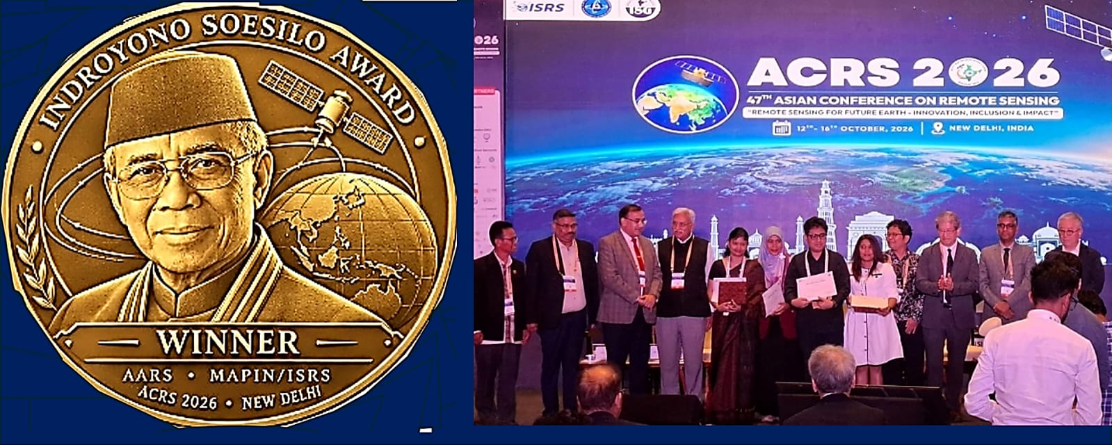
Enviro News Asia, New Delhi — Two Indonesian researchers and remote sensing practitioners received the Indroyono Soesilo Award 2026 at the closing of the 47th Asian Conference on Remote Sensing (ACRS 2026) in New Delhi, India, on October 16, highlighting Indonesia’s contributions to Earth observation, forest monitoring and local language preservation.
Yustinus Seno of Auriga Nusantara Corp. received the main award for his research, “MapBiomas Indonesia: Annual Wall-to-Wall Mapping of Forest Ecosystems in Indonesia (1990–2024).” The project combines more than three decades of Landsat satellite data with cloud computing and machine learning to track changes in Indonesia’s forest ecosystems.
Serliah Nur received an Honorable Mention for her research on mapping language vitality and planning language revitalisation in Tana Luwu, South Sulawesi. Her work integrates geographic information systems (GIS) with sociolinguistic analysis to support the preservation of regional languages.
The other awards recognised international contributions to remote sensing. Serenee Osman of Nakanihon Air Co. Ltd. in Japan received the Technical Excellence award for combining airborne LiDAR, satellite imagery and bathymetric surveys to assess landscape changes caused by the 2024 Noto Peninsula earthquake.
Ankitha Reddy of India’s National Remote Sensing Centre (NRSC), part of the Indian Space Research Organisation (ISRO), received the Special Recognition award for the Bhoonidhi platform, which expands access to Earth observation data.
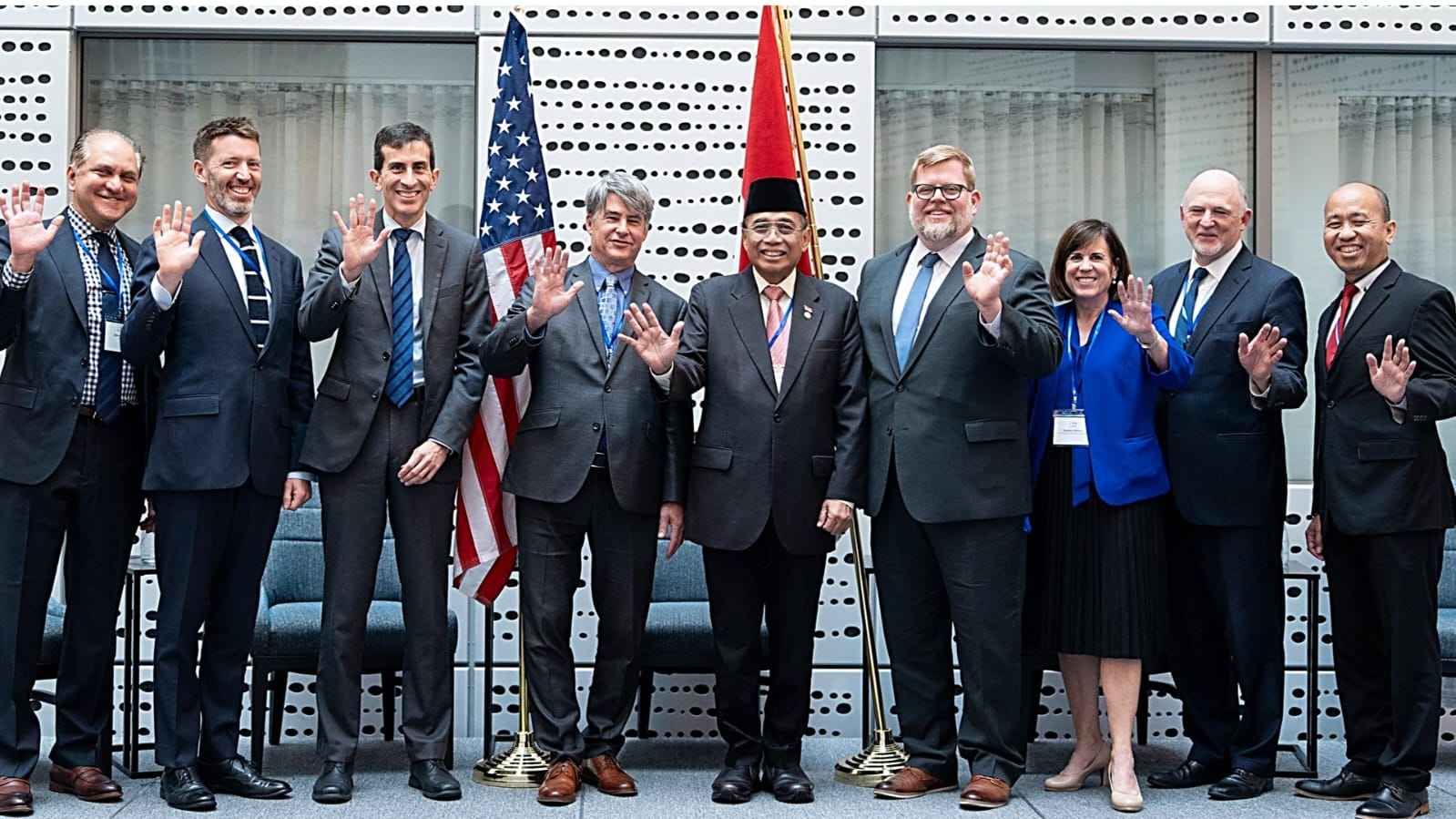
The award commemorates Professor Indroyono Soesilo, a senior Indonesian remote sensing expert and pioneer who helped establish the Indonesian Remote Sensing Society (MAPIN). He currently serves as Indonesia’s ambassador to the United States.
Held from October 12 to 16, ACRS 2026 brought together approximately 800 participants from more than 30 countries under the theme “Remote Sensing for Future Earth: Innovation, Inclusion & Impact.” Attendees included scientists, space agencies, universities and geospatial industry representatives.
Remote sensing has evolved beyond satellite photography into a tool for monitoring forests, agricultural land, floods, droughts, earthquakes, coastal changes and atmospheric and oceanic movements. The conference addressed these applications through eight thematic tracks, including sustainable agriculture, geospatial artificial intelligence (GeoAI), satellite and drone sensors, Global Navigation Satellite Systems (GNSS), disaster mitigation and the use of data in public policymaking.
The conference was jointly organised by the Asian Association on Remote Sensing, the Indian Society of Remote Sensing and the Indian Society of Geomatics, with support from ISRO, NRSC, the Japan Aerospace Exploration Agency (JAXA), India’s Ministry of Earth Sciences and various research institutions and technology companies.
For Indonesia, an archipelagic nation with more than 17,500 islands, the conference provided an opportunity to strengthen research partnerships and Earth observation data exchange. Remote sensing technologies can support natural resource exploration, forest management, coastal protection, fisheries, agriculture and disaster response.
The awards and conference discussions underscored the importance of turning satellite observations into practical decisions that protect communities, ecosystems and the planet. (*)