Enviro News Asia, Jakarta — Indonesia’s National Research and Innovation Agency (BRIN) is using machine learning and remote-sensing data to map deforestation in Aceh, North Sumatra and West Sumatra as part of efforts to strengthen flood and landslide mitigation and post-disaster recovery.
The initiative forms part of the Post-Disaster Rehabilitation and Reconstruction Acceleration Program (PRR), which combines deforestation mapping with hydrological analysis to examine the relationship between changes in upstream land cover and water flows that contribute to flooding downstream.
Danang Surya Candra, a researcher at BRIN’s Geoinformatics Research Center (PRG), said the model is designed to provide deforestation information quickly, accurately and through regular updates.
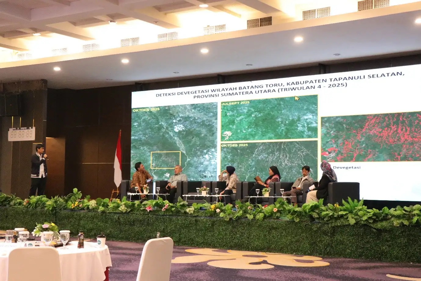
The model uses remote-sensing data to automate the detection of forest-cover changes. Danang said the research team is developing an algorithm that can process information rapidly and eventually be applied nationally across Indonesia.
The model uses several remote-sensing datasets, including Sentinel-1 Synthetic Aperture Radar (SAR) and Landsat 8/9 imagery. Forest and non-forest reference data were obtained from the European Commission’s Joint Research Centre (JRC) and Indonesia’s former Ministry of Environment and Forestry (KLHK).
Researchers use the Random Forest algorithm, with models developed according to the characteristics of individual islands.
Preliminary results show that the model developed for Sumatra achieved an overall accuracy of 94.8% on training data and 94.4% on testing data. The relatively close results indicate consistent model performance between the two datasets, although field validation remains necessary to confirm the reliability of the mapping results.
BRIN has applied the mapping approach to detect vegetation-cover changes in several areas, including East Aceh, Simalungun and Sijunjung. The analysis also covers disaster-affected areas such as Batang Toru, Aceh Tamiang and Central Tapanuli.
Researchers then combine deforestation information with hydrological conditions to examine the spatial relationship between upstream land-cover changes and water flows toward downstream areas.
“This is the direction of the flow, so we can determine whether deforestation in the upstream area actually contributes to flooding downstream. We will use this for the analysis,” Danang said.
The findings are expected to help identify priority areas for forest and watershed restoration while strengthening data-based information for post-disaster rehabilitation and reconstruction.
Strengthening Disaster Data Systems
BRIN is also developing a collaborative information system to improve access to remote-sensing data during disasters.
Yenni Vetrita, another researcher at BRIN’s Geoinformatics Research Center, said previous disaster responses had shown that demand for data could increase sharply within a short period, making collaboration essential.
During the response to disasters between November 29 and December 11, 2025, BRIN received more than 600 satellite images to assess flood impacts. The data came from several sources, including BlackSky, Planet, the International Disaster Charter, Sentinel Asia and the Indonesian Drone Pilot Association.
Of the available imagery, BRIN downloaded 306 images and analyzed 267 together with partner universities.
The experience contributed to the development of a collaborative platform intended to accelerate the delivery of information on hydrometeorological disaster impacts. The platform provides datasets and analytical models and is designed to support cross-institutional use and integration with other information systems.
The platform combines satellite data, artificial intelligence and geographic information systems with a citizen-science approach to support analysis of floods, landslides, forest fires and drought.
Collaboration can include data and knowledge sharing, joint analysis and validation, capacity building for regional authorities, and the development of local networks.
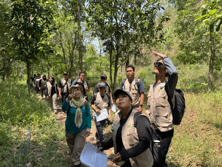
BRIN plans to further improve the machine-learning model and conduct field validation in Aceh, North Sumatra and West Sumatra. The resulting model will then be integrated with hydrological analysis and developed into a web-based GIS platform to support rapid deforestation monitoring, early warning systems and data-based decision-making.
The system is also expected to connect with BRIN’s SIMONTANA and Geo-MIMO platforms. (*)