Enviro News Asia, San Francisco — Indonesia’s vast geography, stretching from Sabang to Merauke, presents a major challenge for monitoring forests, agriculture, mining areas, coastlines, infrastructure, and other natural resources. Satellite-based remote sensing is increasingly becoming a strategic tool to provide frequent and wide-ranging information about changes across the country.
Satellite technology effectively gives Indonesia an “eye in the sky.” From hundreds of kilometers above Earth, satellites can regularly capture images of land and ocean surfaces. When combined with artificial intelligence (AI), this data can help identify important changes earlier, including forest clearing, floods, wildfires, crop conditions, and coastal changes.
One company active in Earth observation is Planet Labs, headquartered in San Francisco, California. The company has developed and launched hundreds of small satellites, with more than 200 reportedly still operating in low Earth orbit at altitudes of approximately 400–600 kilometers.
Planet Labs operates a large satellite constellation capable of collecting imagery covering hundreds of millions of square kilometers each day. Its small-satellite approach allows multiple spacecraft to operate as a constellation, enabling repeated observations of the same areas rather than relying on occasional imagery.
The use of multispectral imagery provides additional information about vegetation, soil, water, built-up areas, and changes in landscapes. For Indonesia, frequent observations are particularly valuable for monitoring forests, peatlands, mangroves, agricultural areas, mining activities, coastlines, shipping routes, and infrastructure development across thousands of islands.
The growing volume of satellite imagery, however, creates another challenge: data processing. It is impractical for people to examine every image manually. AI, machine learning, and computer vision can help compare new imagery with historical data and automatically flag locations where significant changes have occurred.
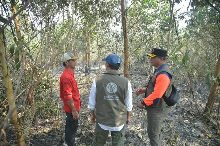
These changes can include vegetation loss, new roads, mining expansion, flooding, new construction, possible fire activity, or shifts in coastlines. AI does not replace human verification. Instead, it helps filter enormous amounts of information so that authorities and field personnel can focus on locations requiring further investigation.
In forestry, satellite imagery can support the detection of new land clearing, changes in forest cover, wildfire impacts, and rehabilitation progress in mangrove and peatland areas. In agriculture, AI-based analysis can help classify land use, monitor vegetation conditions, identify crops experiencing water stress, and estimate areas potentially vulnerable to crop failure.
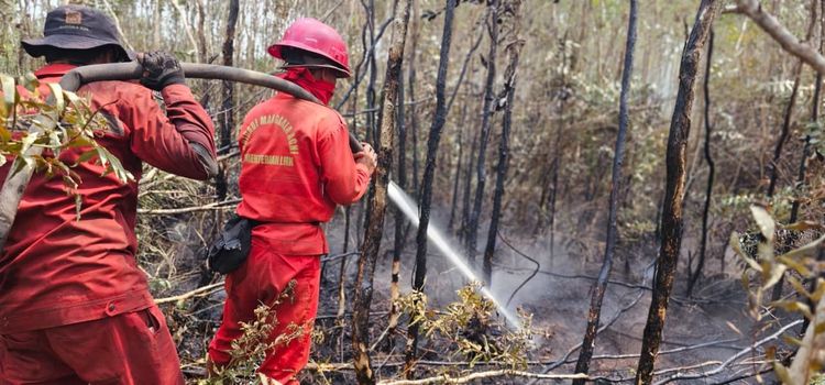
The technology can also support disaster management. During floods, landslides, forest fires, or volcanic eruptions, satellite imagery and AI analysis can help identify affected areas, damaged infrastructure, disrupted roads, and locations requiring priority assistance and recovery measures.
For Indonesia’s maritime and coastal sectors, Earth observation technology can contribute to monitoring ports, construction activities, strategic assets, coastal changes, and environmental compliance. For an archipelagic nation, regular observation from space is increasingly becoming a strategic necessity rather than simply a technological option.
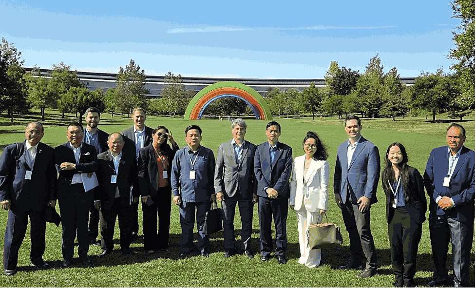
These opportunities were among the issues highlighted during a visit by ASEAN ambassadors in Washington, D.C., to Planet Labs in San Francisco on August 13, 2026. The visit was facilitated by the US-ASEAN Business Council, chaired by Ambassador Brian McFeeters.
Indonesian Ambassador to the United States Indroyono Soesilo participated in the visit. With a background in remote sensing and education at the University of Michigan, Indroyono emphasized the importance of expanding Indonesia’s technological capabilities through cooperation in satellite observation and AI.
The ASEAN ambassadors received a presentation from Planet Labs co-founder and Chief Strategy Officer Robbie Schingler. In a separate discussion, Schingler told Ambassador Indroyono that Planet Labs had worked with several Indonesian institutions, including the Indonesian Navy, Indonesian Army, Ministry of Agriculture, National Research and Innovation Agency (BRIN), National Disaster Management Agency (BNPB), and Maritime Security Agency (BAKAMLA).
The existing cooperation demonstrates the growing relevance of satellite-based Earth observation for Indonesia’s food security, natural resource management, disaster mitigation, territorial monitoring, and maritime security.
Ambassador Indroyono also suggested that cooperation between Indonesia and Planet Labs should go beyond the use of satellite data and commercial services. He proposed greater emphasis on joint applied research, including the development of micro-satellites and AI applications for monitoring Indonesia’s natural resources.
This direction could strengthen Indonesia’s domestic space capabilities by connecting international technology and expertise with national research institutions and human resources. BRIN is reportedly preparing to launch an Indonesian-built remote-sensing micro-satellite in early 2027, building on capabilities previously developed by the former National Institute of Aeronautics and Space (LAPAN), which developed and launched Indonesian remote-sensing satellites beginning in 2007.
The combination of micro-satellites, frequent Earth observation, and AI could therefore become an important part of Indonesia’s future environmental and resource-management infrastructure. For a country as geographically complex as Indonesia, the ability to detect changes from orbit, verify them on the ground, and translate the resulting data into timely policy action could significantly strengthen national monitoring and decision-making. (*)