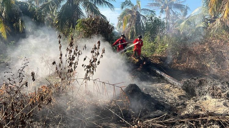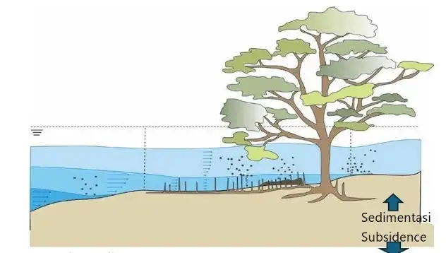
Enviro News Asia, Bandung — Mangrove forests play a vital ecological role beyond protecting coastlines from erosion and storms. They also function as natural sediment traps that can help mitigate the impacts of land subsidence and rising sea levels in vulnerable coastal regions, according to a researcher from Indonesia’s National Research and Innovation Agency (BRIN).
Speaking during the BRIN Talks about Geoinformatics’ Hot TopicS (BRIGHTS) 2026 Series #2 webinar on 26 May, Gathot Winarso, a researcher at BRIN’s Research Center for Geoinformatics (PRGI), explained that mangroves possess a natural ability to capture and accumulate sediment transported by coastal currents and waves.
“The ability of mangroves to trap sediment is strongly influenced by ocean currents and wave dynamics that carry sediment materials into coastal zones,” Gathot said during the webinar, which focused on the use of remote sensing technology to understand the relationship between mangroves and land subsidence.
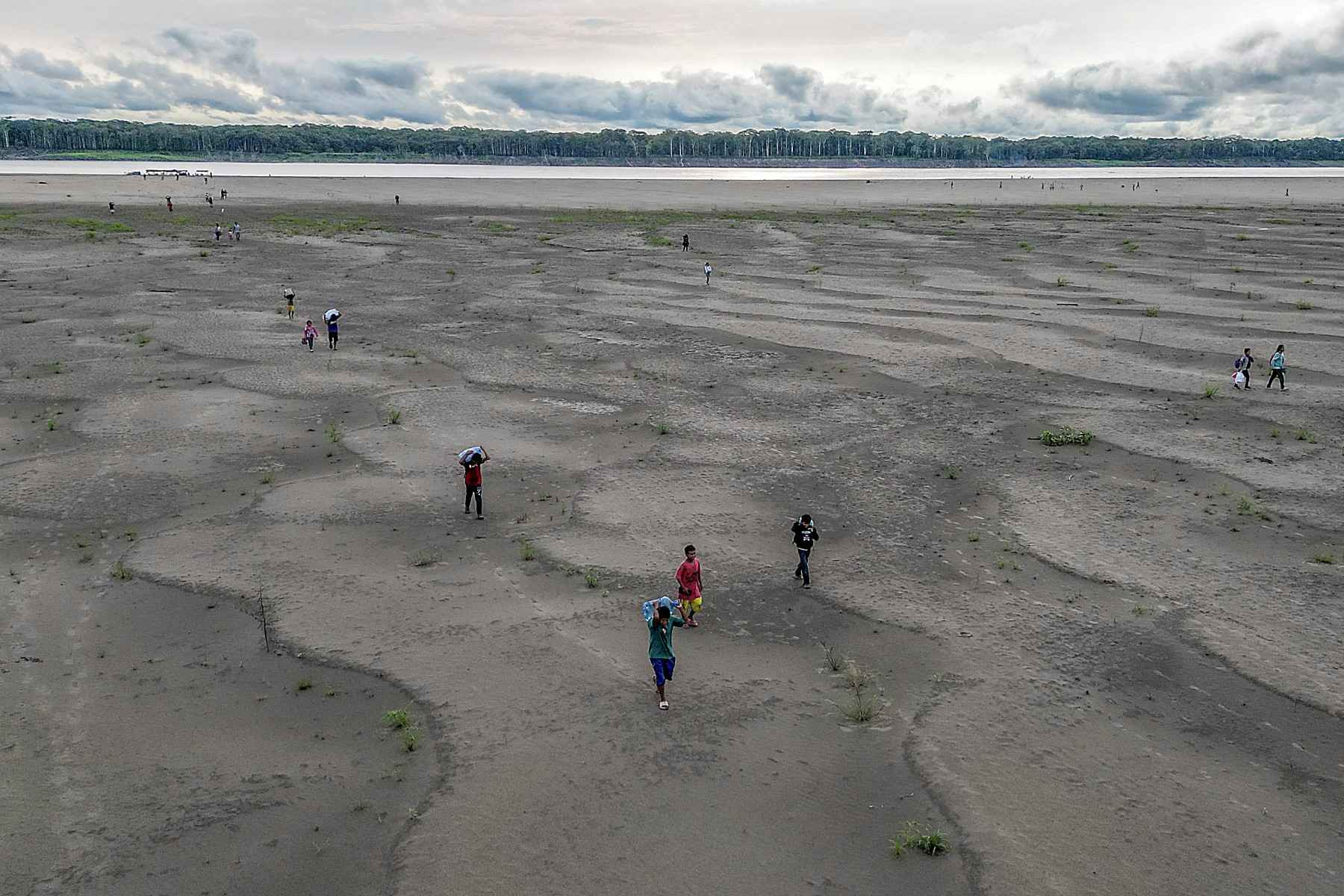
According to Gathot, sediment accumulation within mangrove ecosystems serves as an important natural mechanism for reducing the effects of land subsidence in coastal areas. By trapping and retaining sediment, mangrove forests help maintain surface elevation and strengthen the resilience of shorelines facing environmental pressures.
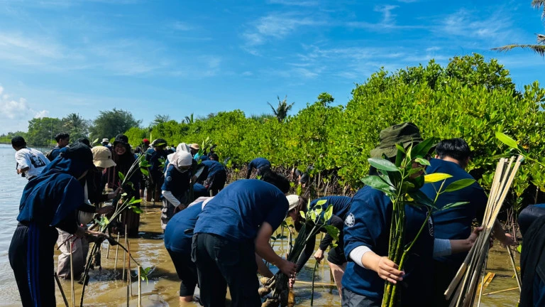
Research findings presented during the webinar also revealed a significant expansion of mangrove coverage along the northern coast of Java over recent decades. In West Java, mangrove areas increased from approximately 5,000 hectares in 2002 to 12,000 hectares in 2024. Central Java recorded growth from around 9,000 hectares in 2000 to 16,000 hectares in 2024, while East Java experienced the largest increase, from roughly 10,000 hectares in 1980 to 30,000 hectares in 2024.
Gathot highlighted the strategic role of remote sensing technology in monitoring and studying mangrove ecosystems. Satellite data enables researchers to distinguish mangrove forests from non-mangrove vegetation based on their unique spectral reflectance characteristics.
He further noted that multispectral satellite imagery and Light Detection and Ranging (LiDAR) technology offer new opportunities to identify mangrove species, measure canopy density, and estimate blue carbon stocks stored within coastal ecosystems.
“Remote sensing provides tremendous potential for monitoring mangrove dynamics more effectively and efficiently. It also supports research on carbon storage, ecosystem quality, and coastal disaster mitigation,” he said.
Despite these advances, Gathot acknowledged that accurately interpreting mangrove imagery remains challenging, particularly when differentiating mangroves from visually similar vegetation types. He emphasized that selecting appropriate spectral band combinations and interpretation methods is crucial for producing reliable and accurate mapping results.
Through this comprehensive research, BRIN hopes that remote sensing data will serve not only as scientific documentation but also as an evidence-based foundation for policymaking. The information generated is expected to support local governments, particularly along the northern coastal corridor of Java, in developing sustainable climate adaptation strategies and long-term coastal protection measures. (*)