Enviro News Asia, JAKARTA — Approximately 80 percent of Indonesia is currently experiencing the dry season, peaking throughout August 2026. This seasonal climax has triggered widespread meteorological drought, particularly across southern Indonesia, while escalating forest and land fires (karhutla) and driving maximum surface temperatures past 36.0°C in several provinces.
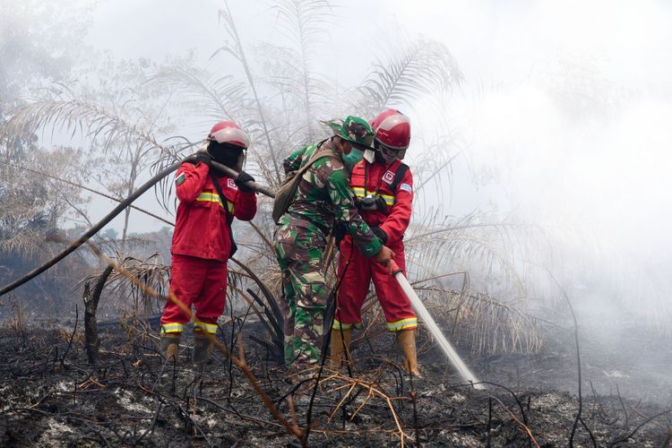
Between August 25 and 27, at least 15 wildfire incidents were reported across eight provinces: Aceh Besar (Aceh); Subang (West Java); Banyumas, Sragen, Klaten, and Sukoharjo (Central Java); East Belitung (Bangka Belitung); West Kutai (East Kalimantan); Toli-Toli and Tojo Una-Una (Central Sulawesi); Pinrang, Enrekang, and Sidenreng Rappang (South Sulawesi); and Sorong City (Southwest Papua).
Himawari-9 satellite imagery on August 25 showed high-confidence hotspots surging in West Kalimantan (92 to 140 points), Central Kalimantan (113 to 352 points), and East Kalimantan (30 to 63 points). Conversely, temporary hotspot decreases occurred in Riau (9 to 0), Jambi (15 to 1), South Sumatra (298 to 63), and South Kalimantan (89 to 60). Haze dispersion was detected across 13 provinces, including Riau, Jambi, South Sumatra, Lampung, West, Central, South, and East Kalimantan, Maluku, West Papua, Central Papua, Highland Papua, and South Papua.
Concurrently, minimal cloud cover drove maximum temperatures above 36.0°C between August 23 and 26 in East Kalimantan, West Kalimantan, Lampung, Aceh, and Medan, threatening public health and increasing water demand. Conversely, localized heavy to very heavy rainfall was recorded from August 24 to 26 in North Sumatra (110 mm/day), West Sumatra (90 mm/day), Riau Islands (63 mm/day), and Jambi (56 mm/day), driven by active Kelvin Waves, wind convergence, warm sea surface temperatures, and local topographies.
Atmospheric Outlook & Forecast
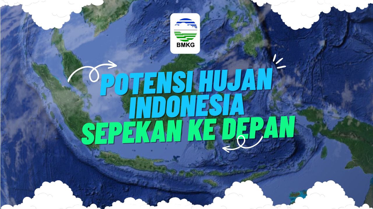
BMKG projects low to moderate rainfall (0–150 mm/dasarian) from late August through mid-September 2026, with low rainfall (<50 mm/dasarian) dominating southern Sumatra, Java, Bali, Nusa Tenggara, most of Kalimantan and Sulawesi, Maluku, and parts of Papua due to a very strong El Niño and positive IOD. However, cloud growth will be locally supported by an active MJO (Aug 28–29 in northern Aceh, Malacca Strait, Aru Islands, Arafura Sea, and South Papua), Equatorial Rossby Waves (eastern South Papua), and convergence zones near the Andaman Sea, Natuna Sea, Makassar Strait, and Pacific waters near Papua.
Aug 27 – 29, 2026: Light to moderate rain nationally, with increased intensity in Aceh, North/West Sumatra, Jambi, Lampung, West/North Kalimantan, and across Papua. Standby (Heavy Rain): Highland Papua. Strong Winds: Bangka Belitung, Lampung, Banten, West Java, West/South Kalimantan, South/North Sulawesi, Maluku, North Maluku, NTT, and South Papua.
Aug 30 – Sep 02, 2026: Sunny-cloudy to moderate rain, with increased rain in Aceh, North/West Sumatra, Jambi, North Kalimantan, and across Papua. Standby (Heavy Rain): West Sumatra. Strong Winds: Aceh, Lampung, Banten, West/Central/East Java, NTB, West Kalimantan, South/North Sulawesi, North Maluku, and South Papua. (*)