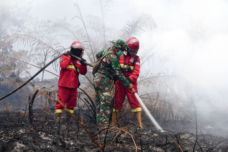
Enviro News Asia, Jakarta — Indonesia’s Ministry of Forestry and joint response teams are intensifying efforts to control forest and land fires across priority areas in Sumatra and Kalimantan, despite a decline in high-confidence fire hotspots nationwide.
According to the Ministry of Forestry’s SiPongi monitoring system, based on data from NASA’s Terra/Aqua, SNPP, and NOAA-20 satellites, 946 high-confidence hotspots were detected nationwide as of 9:02 p.m. local time on August 30, 2026. The figure represented a decline of 629 hotspots from the previous day.
West Kalimantan recorded the highest number with 455 hotspots, followed by Central Kalimantan with 308. South Sumatra recorded 36 hotspots, South Kalimantan 18, and Jambi one. No high-confidence hotspots were recorded in Riau.
Despite the national decline, the Ministry warned that hotspot concentrations remained high in West and Central Kalimantan, where fire response operations continued.
The Ministry emphasized that satellite-detected hotspots are indicators of thermal anomalies and do not necessarily represent confirmed fires. A single fire can also generate multiple hotspot detections, making field verification necessary to determine actual fire incidents.
According to the Dalkarhutla, or forest and land fire control, operations summary as of 7:00 a.m. on August 30, authorities recorded 93 forest and land fire incidents across 12 provinces. Of these, 33 locations had been extinguished, while 60 remained under firefighting operations.
Central Kalimantan recorded the largest number of incidents being handled, with 21 locations, followed by West Kalimantan with 16, South Sumatra with 13, South Kalimantan with 11, Jambi with nine, Riau with eight, and East Kalimantan with seven.
Operations were also conducted at three locations in Southeast Sulawesi, two in South Sulawesi, and one each in North Sumatra, North Kalimantan, and Central Sulawesi.
Cumulatively, authorities had carried out 4,801 forest and land fire response operations throughout 2026, covering a total affected area of 38,829.46 hectares.
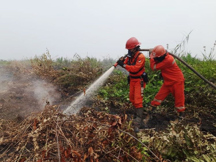
Joint teams are continuing firefighting and prevention operations through ground suppression, water bombing, aerial patrols, ground checks, and other forest and land fire control measures in priority areas.
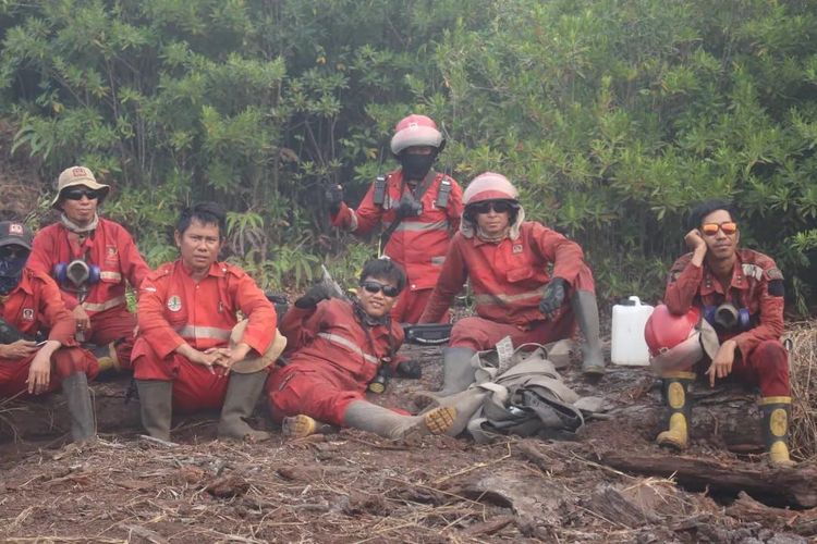
The operations involve the Ministry of Forestry’s Manggala Agni firefighting units, the Indonesian Military (TNI), National Police (Polri), National Disaster Management Agency (BNPB), Meteorology, Climatology and Geophysical Agency (BMKG), regional disaster management agencies (BPBD), local governments, communities, and other stakeholders.
Aerial operations have also been strengthened, with 30 helicopters deployed in Kalimantan and another 22 in Sumatra to support water bombing and aerial patrols.
Weather Modification Operations (OMC) are also being pursued in areas and periods where meteorological conditions are suitable to support forest and land fire management.
Air quality remains a concern in several affected areas. Operational reports indicated that air quality at monitoring points in West Kalimantan, Central Kalimantan, South Kalimantan, East Kalimantan, Riau, Jambi, and South Sumatra ranged from moderate to unhealthy, very unhealthy, and hazardous levels.
Smoke has also reduced visibility at several airports.
BMKG monitoring on the morning of August 31 showed that Supadio Airport in Pontianak had smoky conditions with visibility of 1.3 kilometers at 8:00 a.m. At Tjilik Riwut Airport in Palangka Raya, visibility was recorded at 1.5 kilometers under smoky conditions at the same time.
In Sumatra, Sultan Mahmud Badaruddin II Airport in Palembang recorded smoky conditions with visibility of four kilometers at 7:30 a.m., while Sultan Thaha Airport in Jambi recorded five kilometers at 8:00 a.m.
At Syamsudin Noor Airport in Banjarmasin, BMKG reported smoky conditions with visibility of three kilometers at 9:00 a.m. local time.
The Ministry of Forestry stressed that the decline in hotspot numbers does not mean the forest and land fire threat has ended. Monitoring and field operations will remain intensified, particularly in areas where fires are still active and where smoke pollution and reduced visibility are beginning to affect communities.
The Ministry urged people in smoke-affected areas to follow official information from the government and BMKG, maintain their health, and reduce outdoor activities when air quality deteriorates. (*)