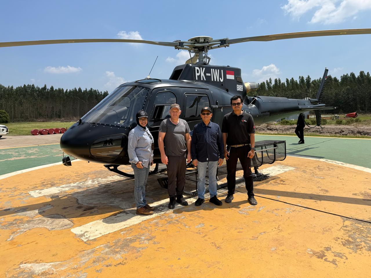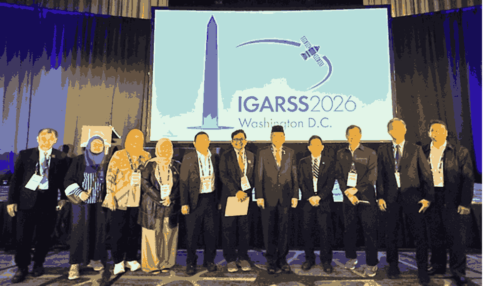
Enviro News Asia, Washington, DC — Indonesian scientists are showcasing their research at the 46th International Geoscience and Remote Sensing Symposium (IGARSS) 2026, held in Washington, DC, from August 9 to 14. Organized by the IEEE Geoscience and Remote Sensing Society, the conference brings together around 2,400 participants from various countries under the theme “The Future of Earth Observations.”
Indonesia is represented by researchers presenting seven scientific papers covering marine ecosystems, urban development, geological hazards, land subsidence, radar technology and signal processing. Among the studies are research on the relationship between ocean variability and Sardinella lemuru production in the Bali Strait, spatial expansion and urban dynamics in the Jabodetabek metropolitan area, ground deformation at Mount Ibu using satellite-based InSAR, and land subsidence monitoring in Surabaya.
The Indonesian research also includes studies on synthetic ultra- and C-band radar subbands and the detection of nonlinear frequency modulation signals. The presentations involve researchers from IPB University, BRIN, the Geospatial Information Agency, Pakuan University, ITB, ITS Surabaya and the Indonesian Society for Remote Sensing, in collaboration with researchers from Kyoto University and Nagoya University in Japan and La Trobe University in Australia.
A key moment at the conference was a keynote address by Prof. Dr. Indroyono Soesilo, an Indonesian remote sensing expert and Ambassador of Indonesia to the United States. He highlighted the strategic role of Earth observation technology in monitoring forests and peatlands, assessing carbon resources, supporting spatial planning and mitigating natural disasters in Indonesia. Globally, the technology also supports implementation of the Paris Agreement and the Sustainable Development Goals.
The participation of Indonesian researchers at IGARSS 2026 highlights the growing capacity of Indonesia in remote sensing, ranging from satellite and drone technologies to digital data processing and practical applications. It also demonstrates Indonesia’s expanding role not only as a user of Earth observation technology but also as a contributor to global research and innovation for sustainable natural resource management. (*)