Enviro News Asia, Jakarta — Air quality has improved in several areas affected by forest and land fires (karhutla), with zones classified as very unhealthy falling sharply, according to the Ministry of Forestry.
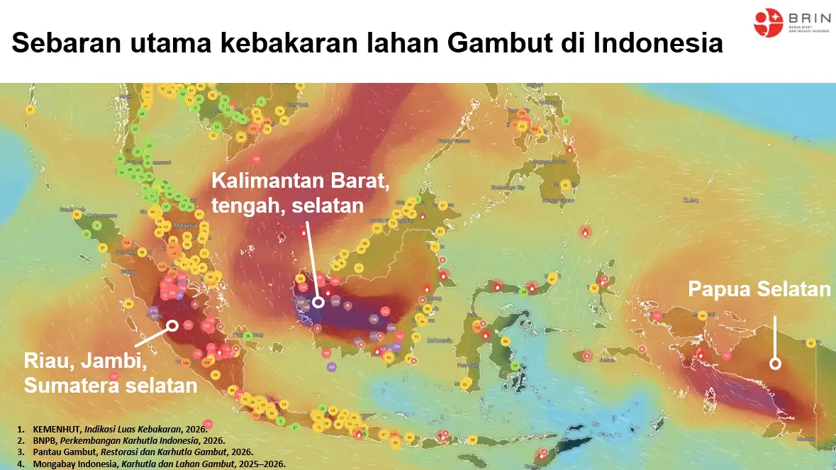
Based on monitoring data from the Meteorology, Climatology and Geophysical Agency (BMKG), areas with very unhealthy air quality, classified as the Red category, have continued to shrink and are now limited to small parts of West Kalimantan.
Most other parts of Indonesia remain relatively safe, with air quality ranging from Good (Green) to Moderate (Blue). However, Unhealthy (Yellow) conditions continue to dominate parts of Kalimantan and a small area of western Sumatra.
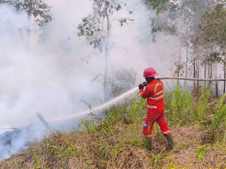
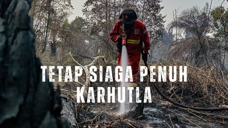
The Ministry of Forestry, together with the Joint Task Force involving Manggala Agni, the Indonesian Military (TNI), the National Police (Polri), the National Disaster Management Agency (BNPB), BMKG, Regional Disaster Management Agencies (BPBD), community fire brigades, and other stakeholders, continues to strengthen coordinated operations in affected areas.
Fire response measures include ground-based firefighting, patrols, and aerial operations in priority locations.
A total of 53 aircraft have been deployed as part of the aerial response. Nineteen aircraft are assigned to aerial patrols and Weather Modification Operations (OMC), while 34 aircraft are being used for aerial firefighting, including water bombing in areas that are difficult for ground teams to reach.
The ministry said OMC operations are being optimized in areas and during periods that meet meteorological criteria to encourage the formation of rain clouds.
According to data from the Ministry of Forestry’s SiPongi monitoring system, based on NASA Terra/Aqua, SNPP, and NOAA-20 satellite observations, 688 high-confidence hotspots were detected as of September 3, 2026, at 9:19 p.m. Western Indonesia Time (WIB).
Intensive monitoring is focused on seven key areas: West Kalimantan, Central Kalimantan, South Kalimantan, East Kalimantan, South Sumatra, Riau, and Jambi.
The Ministry of Forestry emphasized that hotspots are satellite-detected indications of elevated temperatures and do not necessarily represent active fires.
However, the data provide an important basis for joint teams on the ground to conduct immediate verification through ground checks and initiate rapid response measures.
To maintain the positive trend and accelerate the overall recovery of air quality, the ministry urged communities and businesses to refrain from land burning amid the current dry weather.
Residents who detect signs of forest or land fires or observe smoke are encouraged to report them immediately to the Ministry of Forestry’s Forest and Land Fire Operations Post. (*)