Enviro News Asia, Jakarta — High-confidence thermal hotspots nationwide dropped to 1,037 points, marking a sharp decline of 400 points according to latest monitoring data released by the Ministry of Forestry (Kemenhut). Despite this overall reduction, Kemenhut alongside joint task forces continues to reinforce forest and land fire (karhutla) control operations through integrated ground and aerial deployments.
Data from Kemenhut’s SiPongi satellite monitoring system—sourced from NASA Terra/Aqua, SNPP, and NOAA-20—recorded high-confidence hotspots across the six priority provinces as of Tuesday, September 15, 2026, at 9:05 PM WIB as follows:
- Central Kalimantan: 266 points (down from 689);
- South Sumatra: 245 points (up from 116);
- South Kalimantan: 72 points (down from 112);
- Jambi: 62 points (up from 9);
- West Kalimantan: 43 points (down from 203); and
- Riau: 15 points (up from zero).
Considerable reductions were observed in Central Kalimantan and West Kalimantan. However, hotspot increases in South Sumatra and Jambi have drawn critical operational focus for patrolling, ground checks, and suppression missions. With 245 high-confidence hotspots, South Sumatra now rivals Central Kalimantan in total hotspot concentration.
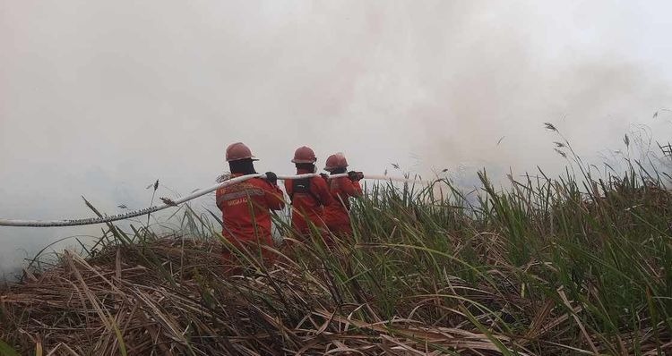
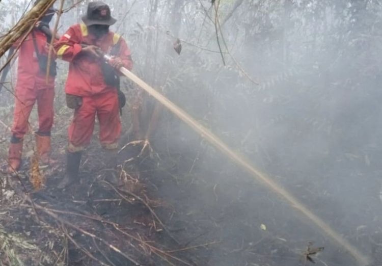
The Ministry reiterates that satellite hotspots represent surface temperature anomalies requiring physical ground-check verification, as a single fire event can trigger multiple hotspot readings. Frontline suppression continues with Kemenhut’s Manggala Agni firefighters working alongside the Military (TNI), National Police (Polri), BNPB, BMKG, BPBD, local governments, private concessionaires, and volunteer communities to carry out direct firefighting, firebreak construction, mopping up, rewetting, and cooling.
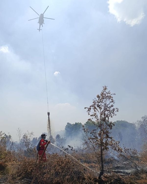
Aerial support remains maintained with 53 aircraft units stationed across the six priority provinces, comprising 34 water-bombing units alongside 19 aircraft allocated for aerial patrols and Weather Modification Technology (OMC) cloud-seeding. OMC operations remain central to land-rewetting strategies, executed in response to field urgency and cloud availability. BMKG forecasts indicate potential moderate-to-heavy rainfall in West Kalimantan and Central Kalimantan on September 16, which will be integrated into ongoing suppression plans.
Aerial capabilities have been further expanded through bilateral cooperation between Indonesia and Japan. On September 15, 2026, Minister of Defense Sjafrie Sjamsoeddin personally inspected the JMSDF vessel JS Kunisaki and three CH-47 Chinook helicopters in Mempawah, West Kalimantan, receiving operational updates on Japanese assistance in the field. The heavy-lift helicopters are deployed specifically to accelerate fire suppression across West Kalimantan, fully integrated into Indonesian command protocols and safety frameworks.
These operational reinforcements align directly with instructions from President Prabowo Subianto mandating immediate action on all hotspot detections to prevent large-scale fires, alongside public education and strict law enforcement against arson, including suspected corporate involvement.
Air quality monitoring based on PM2.5 parameters shows varied conditions nationwide; while most regions register good to moderate levels, several areas in Sumatra and Kalimantan remain in unhealthy to very unhealthy categories, with localized zones hitting hazardous levels. BMKG aviation weather reports on the night of September 15 recorded hazy conditions and restricted visibility in Pontianak (2 kilometers), while Palangka Raya (8 kilometers), Banjarmasin (9 kilometers), Jambi (7 kilometers), Pekanbaru (7 kilometers), and Palembang (10+ kilometers) observed clearer skies. (*)