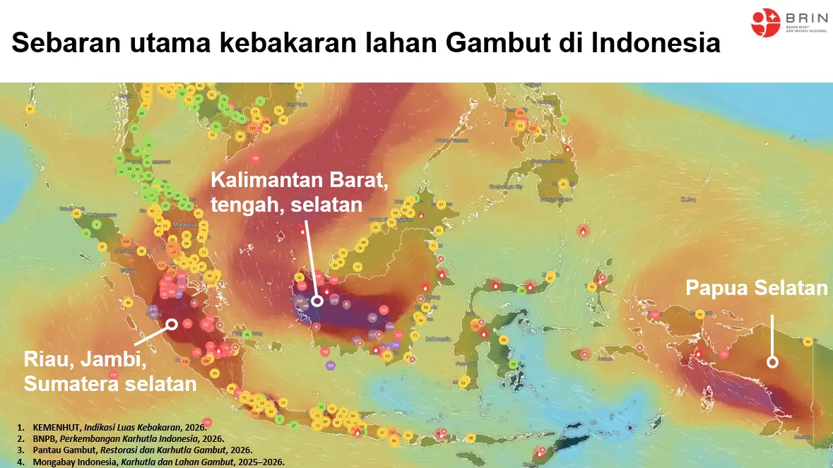
Enviro News Asia, Jakarta — Indonesia’s Ministry of Forestry has intensified forest and land fire control operations across six priority provinces after high-confidence hotspots rose nationally, with Central Kalimantan recording the sharpest increase.
Data from the ministry’s SiPongi monitoring system, based on NASA Terra/Aqua, SNPP and NOAA-20 satellite observations, recorded 546 high-confidence hotspots nationwide as of 9:05 p.m. local time on September 18, 2026. The figure increased from 475 hotspots a day earlier.
Central Kalimantan recorded 166 hotspots, up from 61, making it the province with the highest number among the six priority areas. Meanwhile, South Sumatra recorded a significant decline from 184 to 100 hotspots.
The other priority provinces recorded 39 hotspots in West Kalimantan, up from 30; 12 in South Kalimantan, up from five; nine in Jambi, down from 15; and four in Riau, compared with zero the previous day.
The ministry said the decline in South Sumatra and Jambi provided a positive development, while the increase in Central Kalimantan prompted stronger patrols, field verification, firefighting, fire containment, wetting and cooling operations.
The ministry also stressed that satellite-detected hotspots indicate surface temperature anomalies and cannot be directly interpreted as individual fires or as the size of burned areas. A single fire can generate multiple hotspot detections, making field verification essential before determining the actual fire situation.
Manggala Agni personnel are working with the Indonesian Military, National Police, National Disaster Management Agency, Meteorology, Climatology and Geophysical Agency, regional disaster management agencies, local governments, communities and businesses.
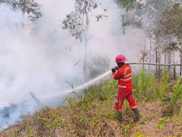
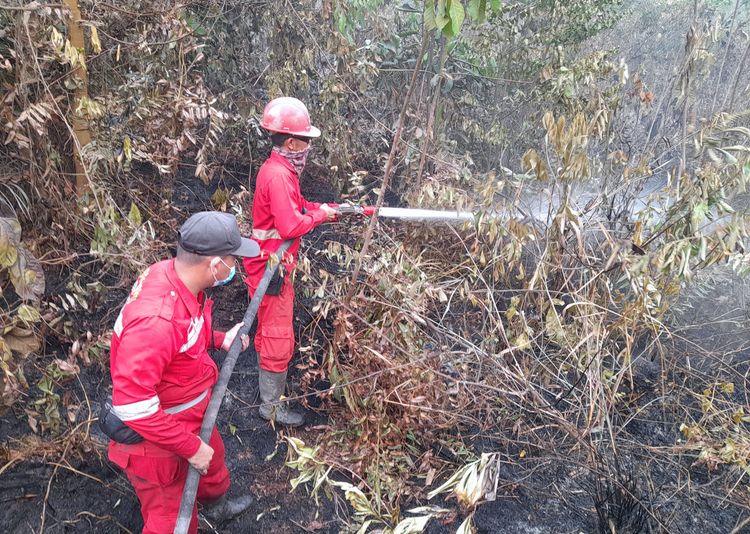
Their operations include patrols, ground checks, direct firefighting, fire-spread containment, mopping up, wetting and cooling. A total of 55 aircraft are currently supporting fire-control operations across Sumatra and Kalimantan, including patrol helicopters, CASA aircraft for weather modification operations and water-bombing helicopters.
The deployment of aircraft is adjusted according to hotspot developments, field verification, fire conditions, cloud availability, visibility and aviation safety considerations.
Weather modification operations are also being conducted when meteorological conditions permit, particularly to support wetting efforts in peatland areas. The weather agency forecast moderate to heavy rainfall in several priority provinces on September 19, including Riau, Jambi, South Sumatra, West Kalimantan and Central Kalimantan.
Cross-agency coordination has also been strengthened. On September 18, Forestry Minister Raja Juli Antoni accompanied Coordinating Minister for Political and Security Affairs Djamari Chaniago at a coordination meeting on forest and land fire management in Palembang, South Sumatra.
The meeting was attended by National Disaster Management Agency Chief Lt. Gen. Suharyanto, South Sumatra Governor Herman Deru, and representatives from the military, police, disaster management agencies and Manggala Agni.
Raja Juli reported the latest hotspot developments and emphasized the need to translate monitoring data into clear priorities for field verification and operations.
Djamari called for measured responses that concentrate personnel and equipment in areas with high fire risks. He also emphasized mapping vulnerable areas and anticipating potential fire locations to improve the allocation of resources, while strengthening prevention and monitoring of land-clearing activities involving fire.
The meeting also discussed the latest response efforts in South Sumatra, which had been reported to President Prabowo Subianto. According to the coordinating minister, the president expressed appreciation to personnel involved in firefighting efforts and called for accelerated response measures.
Air quality remains variable across Indonesia. Most areas were classified as good to moderate, while several locations in Sumatra and Kalimantan continued to experience unhealthy to very unhealthy conditions, with some areas reaching hazardous levels.
The ministry said hotspot numbers alone could not serve as the sole indicator of fire conditions. Authorities are also monitoring actual fire activity, particulate concentrations, smoke distribution, wind direction, humidity and visibility.
Aviation meteorological observations on September 18 recorded visibility of around five kilometers in Pontianak, where smoke was reported; 10 kilometers or more in Palangka Raya; 10 kilometers or more in Banjarmasin; around nine kilometers in Jambi; around eight kilometers in Pekanbaru; and 10 kilometers or more in Palembang.
The ministry said visibility remained relatively good in most areas during the observation period, although smoke was still detected in Pontianak. Visibility can change rapidly depending on smoke concentrations, wind, humidity and rainfall.
Authorities urged communities in smoke-affected areas to monitor air-quality information and follow guidance from local governments. Residents are advised to reduce outdoor activities when air quality deteriorates and wear masks when outdoor activities are unavoidable, with particular attention to children, pregnant women, older people and those with respiratory or chronic illnesses.
The ministry also reminded communities and businesses not to clear or open land by burning. Prevention remains important because relatively dry atmospheric conditions persist, while fires in peat ecosystems can continue below the surface even after visible flames disappear.
Residents who detect smoke, fire hotspots, land-burning activities or affected wildlife are encouraged to report them immediately to authorities. (*)