Enviro News Asia, Jakarta — Indonesia recorded a decline in high-confidence forest and land fire hotspots, but the Ministry of Forestry continues to maintain firefighting operations and preparedness across priority areas as conditions remain dynamic.
Data from the Ministry of Forestry’s Forest and Land Fire Early Detection and Control Information System (SiPongi) showed 1,201 high-confidence hotspots nationwide as of October 6, 2026, at 9 p.m. local time. The figure fell by 158 hotspots from 1,359 recorded a day earlier.
The hotspots were detected by NASA Terra/Aqua, NASA SNPP and NASA NOAA-20 satellites.
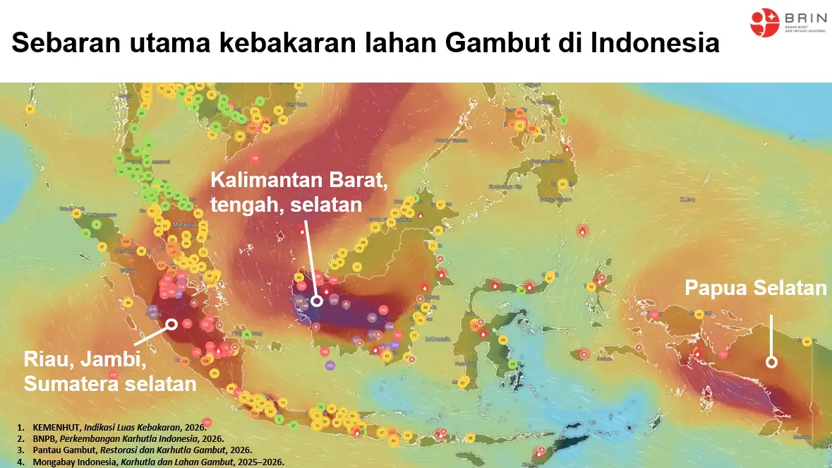
Among six priority provinces for forest and land fire control, Central Kalimantan recorded the highest number with 182 hotspots, down from 569 the previous day. South Sumatra recorded 71, down from 142, while West Kalimantan fell to 34 from 69.
Jambi recorded 21 hotspots after reporting none the previous day. South Kalimantan declined to 18 from 28, while Riau recorded no high-confidence hotspots, down from four.
Combined, the six priority provinces recorded 326 high-confidence hotspots, down from 812 the previous day.
The Ministry of Forestry said the decline, particularly in Central Kalimantan, does not mean vigilance can be reduced. The emergence of hotspots in Jambi, meanwhile, requires immediate verification through ground checks.
The ministry emphasized that a hotspot represents a satellite-detected surface temperature anomaly and cannot automatically be equated with the number of fires or the size of burned areas. A single fire can generate multiple hotspot detections, making field verification necessary to determine actual conditions and appropriate response measures.
Ground and Air Operations Remain on Alert
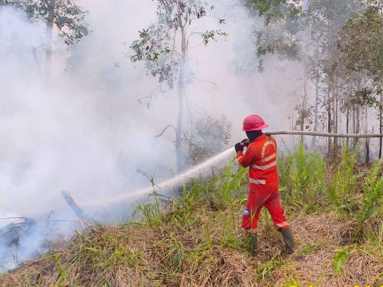
Forest and land fire control operations continue through an integrated effort involving the Ministry of Forestry’s Manggala Agni firefighting teams, the National Disaster Management Agency (BNPB), the Indonesian Military (TNI), the National Police (Polri), the Meteorology, Climatology and Geophysical Agency (BMKG), regional disaster agencies, local governments, communities, volunteers and businesses.
The government has deployed 61 aircraft, including 17 for patrols and weather modification operations and 44 for water-bombing missions.
Aerial operations are being supported by ground teams conducting patrols, ground checks, direct firefighting, firebreak construction, wetting, mopping up and cooling operations.
Peatlands remain a particular concern because fires can persist and spread below the surface even after visible flames have disappeared. Continued wetting and cooling are therefore required until affected areas are considered safe.
Riau, South Sumatra, Jambi, West Kalimantan, Central Kalimantan and South Kalimantan remain the priority provinces for fire preparedness and response.
Air Quality Remains a Concern
The government is also monitoring air quality based on PM2.5 concentrations as part of efforts to protect public health.
Most parts of Indonesia remain in the good to moderate air-quality categories, although unhealthy to very unhealthy conditions persist in several areas, particularly in parts of Kalimantan as well as Sumatra, Java and Papua.
Some areas of Kalimantan have also recorded hazardous air-quality levels. The public has been urged to monitor air-quality updates and follow guidance issued by local authorities.
If air quality deteriorates, people are advised to reduce outdoor activities and wear masks when going outside. Children, pregnant women, older people and those with respiratory or chronic illnesses require particular attention.
Forest and land fires can also disrupt wildlife habitats, food sources and movement corridors. The Ministry of Forestry, through its Natural Resources Conservation Agency (BKSDA) and related units, continues to monitor and respond to wildlife affected by fires.
People who encounter injured, trapped or fire-affected wildlife, or wildlife entering residential areas, are advised not to attempt independent rescue or handling. They should keep a safe distance, avoid actions that could cause the animal to become stressed or aggressive, record the location and condition if possible, and report the incident to BKSDA or the nearest forestry officials.
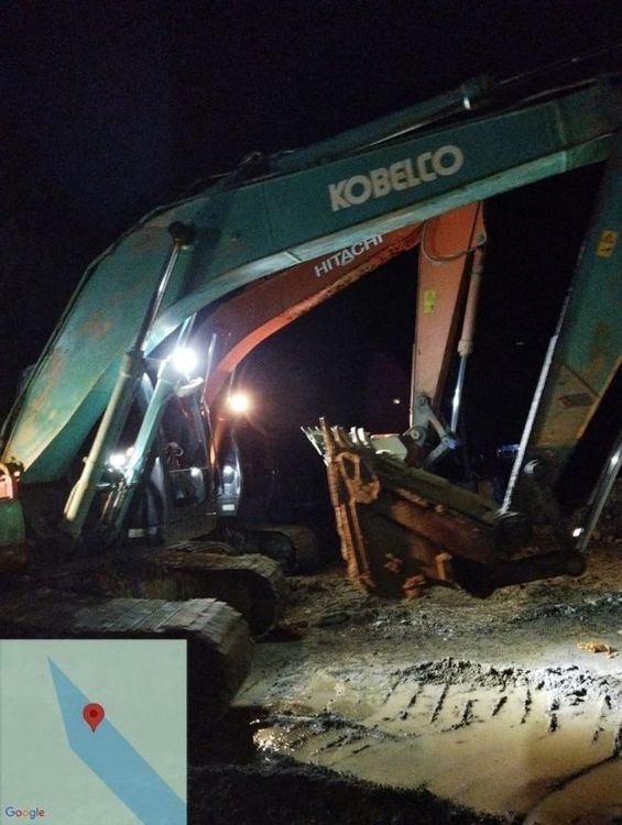
The Ministry of Forestry has also reiterated its call for communities and businesses not to clear or prepare land using fire.
The ministry stressed that a daily decline in hotspots does not signal an end to the threat, as forest and land fire conditions can change rapidly depending on weather, land moisture and activities on the ground.
The public is encouraged to report smoke, fire hotspots, open burning activities or wildlife requiring assistance as early as possible so that authorities can respond promptly. (*)