Enviro News Asia, Pangkalan Bun — Indonesia is intensifying land and forest fire suppression efforts in Tanjung Puting National Park in Central Kalimantan, deploying joint ground teams, expanding groundwater wells and strengthening aerial firefighting operations to prevent fires from reaching the protected area’s core zone.
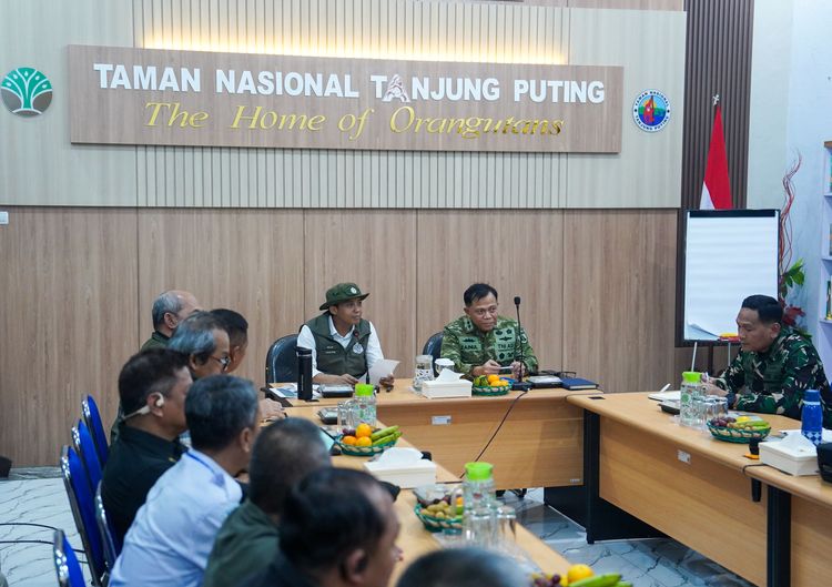
Forestry Minister Raja Juli Antoni announced the measures following a coordination meeting at the Tanjung Puting National Park Office in West Kotawaringin regency on Wednesday, October 14, 2026. The meeting brought together local government officials, military and police representatives, disaster management agencies and other relevant stakeholders to map fire locations, identify priority areas and coordinate emergency responses.
The minister expressed concern over fires affecting Tanjung Puting, an internationally recognised conservation area known for its orangutan habitat.
Thermal drone mapping identified four priority locations for firefighting. One of the main concerns is the Besalat area, which is close to an orangutan feeding site. Authorities are preparing additional bore wells, deploying ground personnel and assessing the feasibility of constructing firebreaks based on local peatland conditions and depth.
Fire mapping showed that the fire front at one priority location extended approximately two kilometres. Authorities estimate that around 30 bore wells and 160 joint personnel may be needed to support suppression efforts.
The strategy aims to contain advancing fires and prevent them from entering the national park’s core zone. Officials are also prioritising Teluk Pulai, Sungai Bulu Kecil, Sungai Bulu Besar, Sungai Baung and Tanjung Rengas.
In remote locations, teams will be stationed with sufficient supplies for several days, allowing firefighting operations to continue without requiring personnel to travel in and out of the affected areas every day.
Aerial operations are also being strengthened. Six helicopters equipped for water bombing are available in Central Kalimantan, but thick smoke has reduced visibility around Pangkalan Bun and Palangka Raya, limiting their operational capacity.
To address the problem, the government is considering relocating helicopter operations to Kuala Pembuang Airport in Seruyan regency, where visibility conditions are reportedly more favourable. Authorities are also exploring the possibility of bringing in an additional helicopter from South Kalimantan and other areas where conditions have improved.
The government is preparing a possible weather modification operation to encourage rainfall, taking into account the potential development of rain clouds on October 15–16. If smoke continues to disrupt flights from Central Kalimantan, an alternative deployment from Syamsudin Noor Airport in South Kalimantan is being considered.
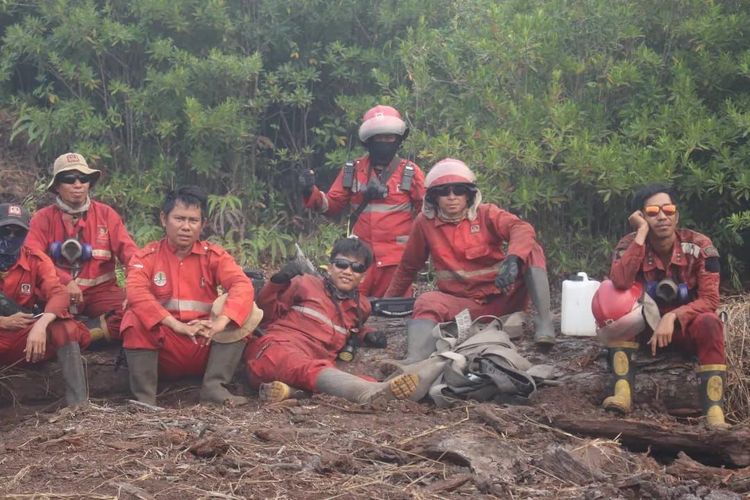
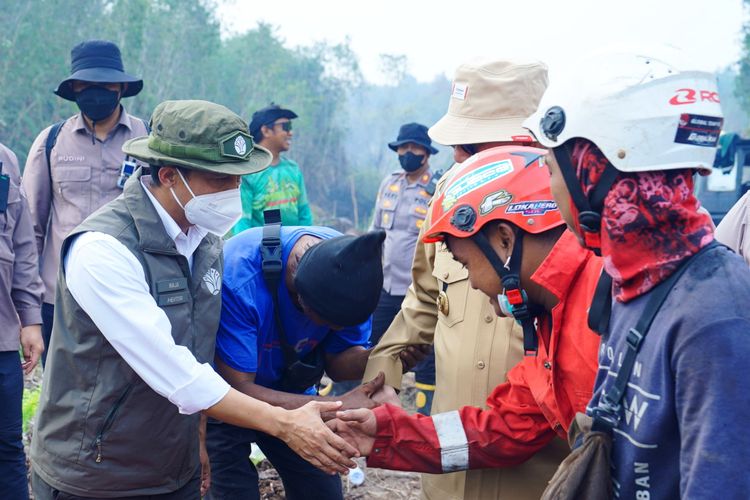
Ground operations involve the Forestry Ministry’s Manggala Agni fire brigade, the Indonesian Military, the National Police, regional disaster management agencies, volunteers and community fire prevention groups. The government is also seeking to strengthen community participation in 15 villages surrounding the national park by establishing or improving local fire prevention groups and providing firefighting equipment.
Raja Juli acknowledged the efforts of regional authorities, security personnel and volunteers working under difficult field conditions. He stressed that fires in peatland areas require an integrated strategy, cooperation among multiple agencies and sustained operations until the fires are brought under control.
The government has pledged to continue using available resources, including ground crews, water-bombing helicopters, additional bore wells and potential weather modification operations, in response to the fires and smoke affecting surrounding communities.
The Forestry Ministry and its partners will continue prioritising public safety, the protection of wildlife habitats and efforts to prevent the fires from spreading into the national park’s core conservation zone. (*)