Enviro News Asia, Jakarta — Indonesia’s National Research and Innovation Agency (BRIN) is developing a satellite-based early warning system to detect mangrove deforestation and estimate potential losses of blue carbon, helping authorities monitor vulnerable coastal ecosystems more effectively.
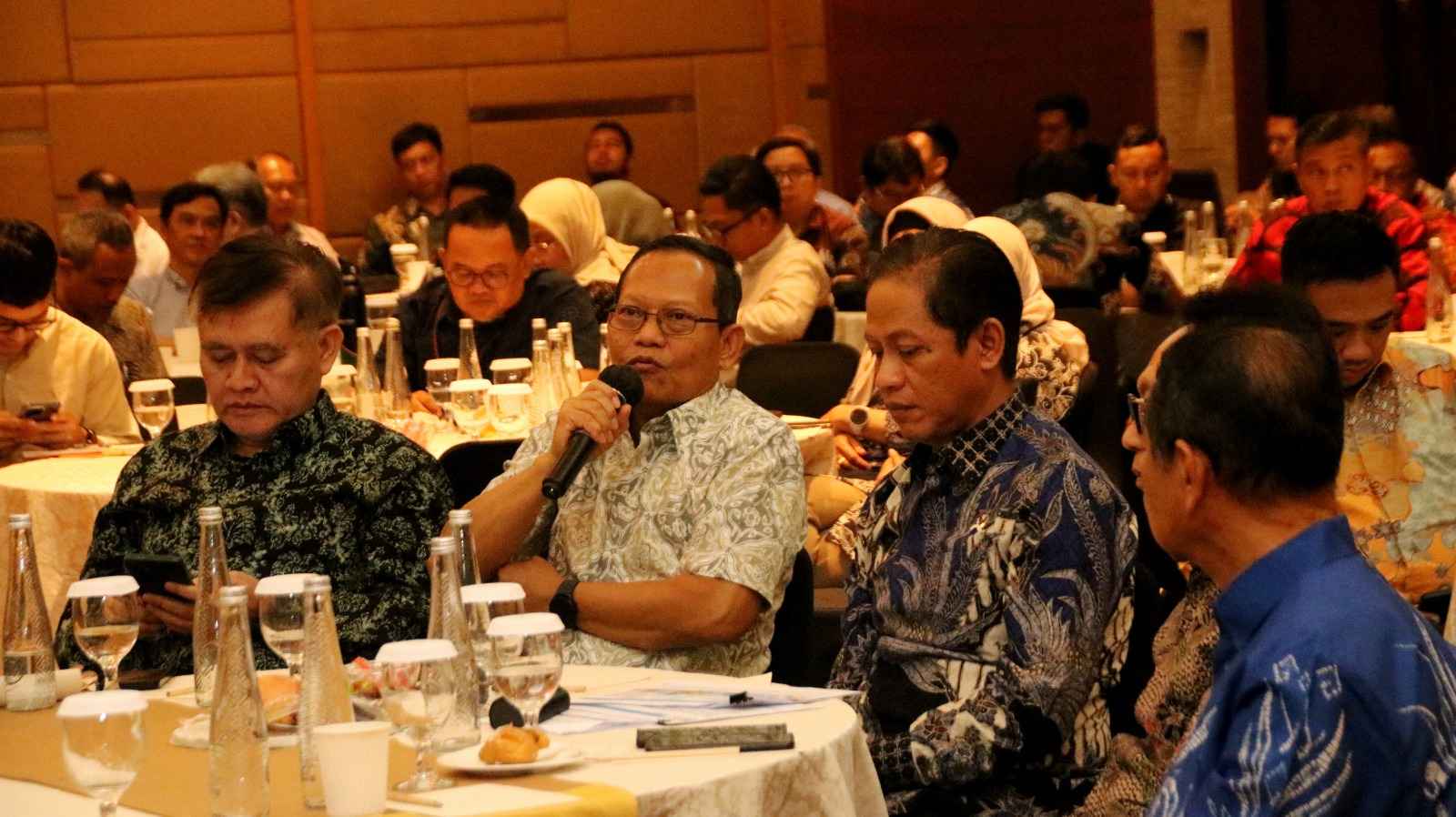
Munawaroh, a researcher at BRIN’s Geoinformatics Research Center under its Electronics and Informatics Research Organization, presented the approach at an Indonesia–China workshop on satellite remote sensing applications in Jakarta on October 14, 2026.
The system combines data from three satellite sources — Sentinel-2, Landsat and Sentinel-1 — to detect changes in mangrove cover and estimate the carbon stocks potentially at risk when deforestation occurs.
Mangroves are significant carbon stores and provide natural protection for coastal communities. Munawaroh said they could store around five times as much carbon as terrestrial forests, underscoring the importance of monitoring their condition and preventing degradation.
Monitoring mangroves in tropical regions presents several challenges. Cloud cover can obstruct optical satellite imagery, while tidal fluctuations complicate image interpretation. Conventional measurements of underground carbon stocks can also be costly.
To address these limitations, the research combines optical imagery from Sentinel-2 and Landsat with radar observations from Sentinel-1, which can continue collecting useful information when clouds interfere with optical monitoring.
The satellite data are processed using probabilistic detection and a Bayesian updating algorithm. The method updates the probability of environmental change as new observations become available.
The system generates four alert levels: safe, warning, alert and high alert. The safe level indicates no detected signs of change, while warnings can be triggered by changes in vegetation indices or radar responses.
Beyond identifying deforestation, the system estimates the potential carbon consequences of mangrove loss. The researchers combine monitoring of vegetation cover with estimates of carbon stocks in above-ground biomass, below-ground biomass and soil.
Above-ground biomass estimates use a canopy height model derived from TanDEM-X data, supported by vegetation-height measurements from NASA’s Global Ecosystem Dynamics Investigation (GEDI) to help calibrate biomass estimates.
For soil carbon, the researchers use a global soil organic carbon database and data available from the Australian government. Indonesia’s mangrove map provides the baseline for identifying monitoring areas.
By integrating these datasets, the system can estimate the amount of carbon potentially at risk when mangrove deforestation is detected. This provides information beyond changes in vegetation cover, helping researchers assess the potential implications for blue-carbon reserves.
The system has been tested in Semarang, Central Java, where coastal ecosystems face pressures including land subsidence, tidal changes and the conversion of mangroves into aquaculture ponds.
Munawaroh reported that land subsidence in the area reaches approximately 13–15 centimetres annually. Mangroves grow in fragmented patches between fish ponds, and some vegetation is experiencing dieback, while replanting activities are also taking place.
These conditions make it difficult to distinguish between changes in mangrove cover, vegetation degradation and land-use conversion, reinforcing the need for monitoring tools that combine multiple sources of information.
To support practical use, the team has developed a basic application using Google Earth Engine. Users can select locations to view mangrove distribution maps, deforestation alert levels and related statistics.
The application also provides information layers showing canopy height, soil organic carbon, estimated blue-carbon stocks and carbon potentially at risk of loss.
BRIN is also exploring international cooperation to incorporate Chinese satellite data into the monitoring system. Munawaroh said China’s Gaofen satellites could provide additional optical or radar observations to complement Sentinel-2, Landsat and Sentinel-1, while the HY satellite series could also be explored for coastal monitoring.
Additional satellite sources could strengthen data availability and improve the system’s ability to track mangrove changes, supporting more timely conservation responses and the protection of coastal carbon reserves. (*)