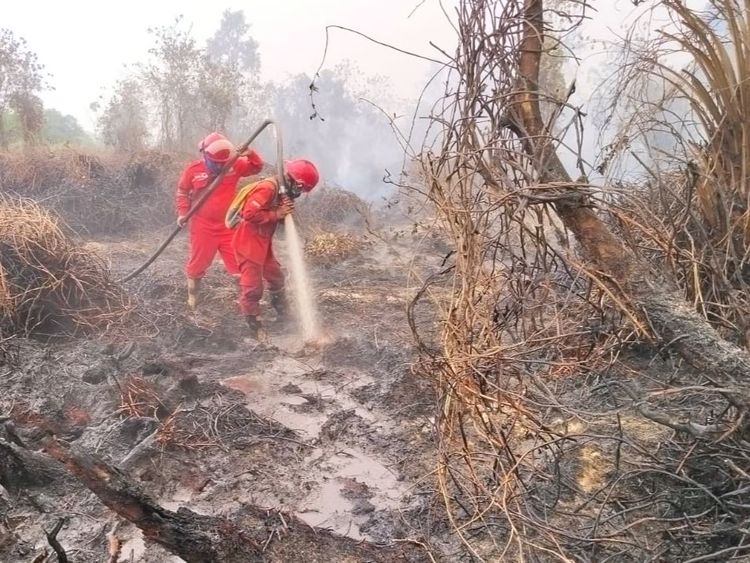
Enviro News Asia, Jakarta — Forest and land fires occurring within concession areas do not automatically prove that permit holders deliberately started the fires, according to fire expert Raffles Panjaitan.
He said conclusions about the causes and perpetrators of fires must be based on scientific examination, incident reconstruction and accountable investigations.
Raffles urged the public to distinguish between the location of a fire and the actions of the party responsible for starting it. The presence of fire in a particular area is a fact that requires investigation, but it does not by itself establish who ignited it.
“A statement that a fire occurred in a concession is different from a statement that a company burned its concession. The first describes the location of an incident, while the second alleges an action that must be proven,” Raffles said in a statement in Jakarta on September 23, 2026.
According to Raffles, an investigation must answer several fundamental questions, including where the fire first emerged, when ignition occurred, how the fire spread and what evidence connects the incident to a particular party.
Investigators must also examine various possibilities, including ignition sources located inside or outside concession boundaries. Each possibility should be treated as a hypothesis requiring evidence rather than as an initial conclusion.
“Fire does not follow administrative or permit boundaries. Therefore, the area that eventually burns is not always the same as the location where the fire initially started. The relationship between the two must be traced through field evidence and a clear chronology,” he said.
Raffles explained that analysis of wind conditions, fuel loads, fire-spread patterns, witness statements and records of when the fire was discovered and addressed could help reconstruct an incident.
He emphasized that such data must be assessed together to ensure that conclusions do not rely solely on a single image or coordinate point.
Geospatial expert Asep Karsidi added that an overlap between hotspot locations and concession maps should be treated as a basis for further examination, rather than as conclusive evidence of who started a fire.
He said satellite data have specific measurement characteristics and limitations. In certain products, the detected heat coordinates represent the center of a pixel and cannot be directly treated as the precise location of the ignition source.
“Maps can help identify the area where indications of fire were detected. However, maps alone cannot establish who started the fire or whether it was intentional,” Asep said.
He explained that analysis should use legally valid concession boundaries, recording times and sequential satellite imagery. The findings should then be compared with field inspections, particularly when fire indications are detected near the boundaries of managed areas.
Credible forest and land fire management requires careful distinctions between the location of an incident, the cause of the fire, the perpetrator and the company’s responsibilities.
Such an approach can provide the public with more complete information, give companies fair opportunities to clarify their positions and ensure that law enforcement remains focused on evidence and environmental protection. (*)