
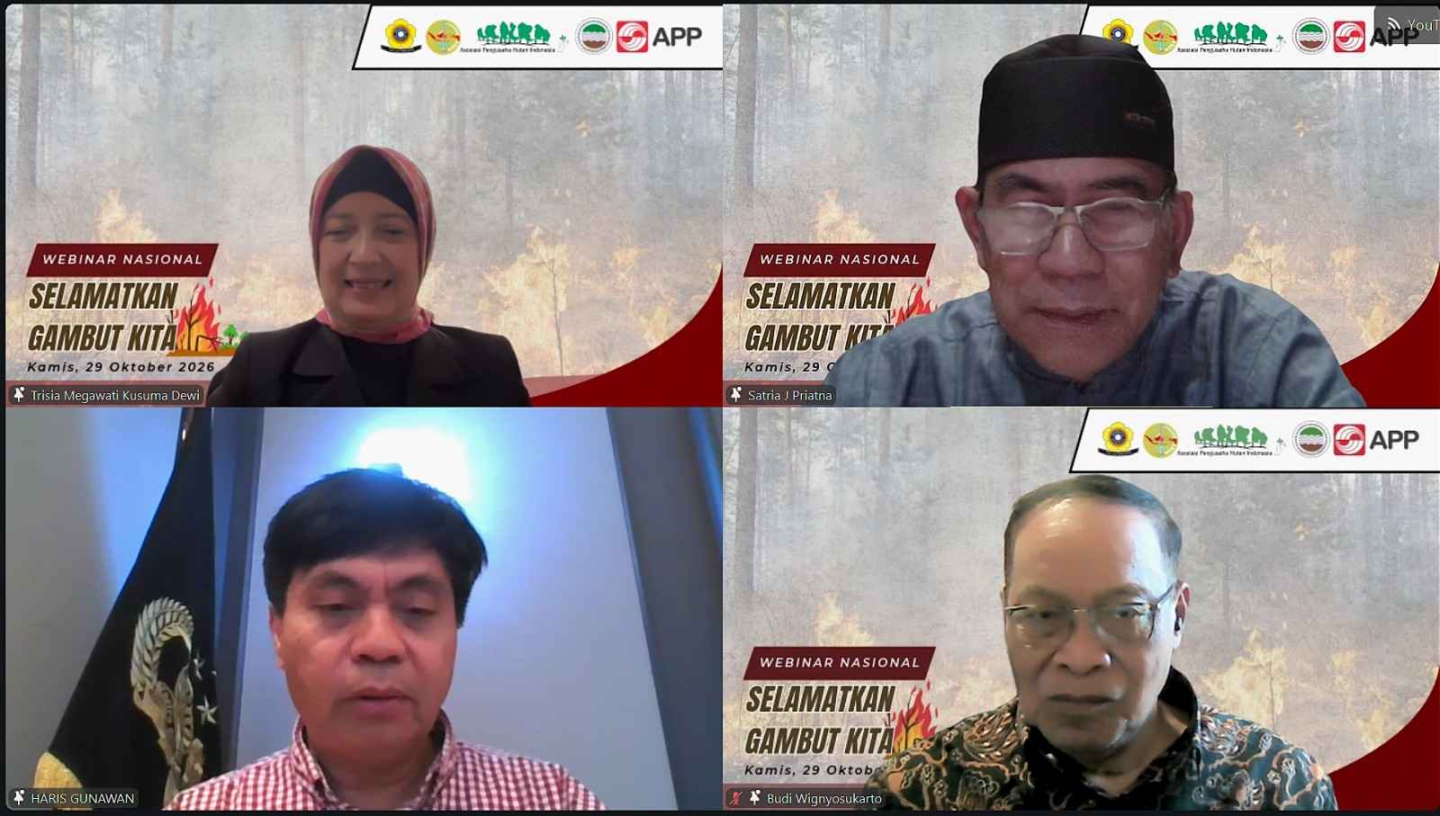
Enviro News Asia, Palembang — Water management based on peat hydrological units is essential to reducing the risk of forest and land fires. The interconnected water flows across villages and concession areas require coordinated management, peat dome protection and continuous land monitoring to ensure preventive measures are taken before peatlands become excessively dry and vulnerable to fires.
Peatland expert Prof. Dr. Haris Gunawan of the University of Riau has called for water management based on peat hydrological units to prevent forest and land fires, including through coordination across villages and concession areas in South Sumatra.
“Water management interventions must follow hydrological systems, not merely administrative boundaries,” Haris said during his presentation at the National Webinar titled “Save Our Peatlands” on Thursday, October 29, 2026.
According to Haris, canal networks and water flows are interconnected, meaning that drainage in one area can deplete water reserves and transfer fire risks to neighbouring villages or concession areas. Peat dome protection and rewetting efforts must therefore be designed as part of an integrated system.
He proposed prioritizing Ogan Komering Ilir, Banyuasin and Musi Banyuasin as a single mitigation corridor. Management efforts should integrate water regulation, emergency preparedness and post-fire evaluations.
Haris also emphasized the importance of combining rainfall forecasts, groundwater levels, peat moisture, hotspots, wind direction and air quality data to support early intervention. Fire suppression, he said, should be considered the last line of defence when preventive measures fail.
“One national policy must not become a one-size-fits-all technical solution,” Haris stressed, highlighting the need for approaches tailored to local hydrological characteristics.
Meanwhile, Budi S. Wignyosukarto of the Department of Civil and Environmental Engineering, Faculty of Engineering, Gadjah Mada University, explained that wetland management must account for the role of water in determining soil conditions and the sustainability of land use.
“Water is not merely a component that must be drained from wetlands. Rather, it is a medium that controls the physical, chemical, biological and socio-economic processes that determine the success of land development,” Budi explained in his presentation titled “Land and Water Management.”
He noted that excessively large drainage channels could lower groundwater levels too far, accelerate peat oxidation and increase water loss. Drainage systems must therefore be designed according to land requirements, supported by appropriate water regulation and storage systems.
This approach requires mapping natural hydrological boundaries, establishing conservation and utilization zones, and setting water management criteria for each zone. Monitoring land subsidence and changes in drainage capacity is also necessary to assess the sustainability of land use.
Meanwhile, Prof. Dr. Momon Sodik Imanudin of the Faculty of Agriculture at Sriwijaya University highlighted the role of geospatial information in accelerating decision-making for forest and land fire prevention and response.
“Combining hotspot data, weather conditions, humidity levels and air quality can accelerate tactical decision-making,” Momon explained in his presentation titled “Land and Peatland Hydrological Management to Accelerate Peat Ecosystem Restoration.”
He explained that satellite imagery, elevation data, land cover information and historical fire records could be used to map fire-prone areas. Wind direction and smoke distribution analyses could further support decisions on patrol priorities, firefighting operations and canal-blocking infrastructure at the local level.
Collaboration among government institutions, universities, businesses and local communities is essential to implementing water management approaches tailored to the characteristics of each peat hydrological unit. Integrated monitoring of groundwater levels, peat moisture, weather conditions and hotspots is expected to accelerate preventive action, while regular evaluations can provide a basis for improving management practices and reducing the risk of recurring fires.