Enviro News Asia, Jakarta — Indonesia’s forest and land fire situation remains dynamic, with hotspot numbers declining in four priority provinces but rising sharply in Central Kalimantan and West Kalimantan, according to the latest data from the Ministry of Forestry.
The ministry reported that hotspots in South Kalimantan, South Sumatra, Riau and Jambi decreased on August 29, 2026. However, the national hotspot count increased to 20,378, up from 18,092 on August 28 and 14,788 on August 27.
The figures were recorded through the Ministry of Forestry’s SiPongi monitoring system using data from NASA Terra/Aqua, SNPP and NOAA-20 satellites, covering high, medium and low confidence levels, with data cut off at 11:59 p.m. Western Indonesia Time on August 29.
Among the six priority provinces for forest and land fire control, South Kalimantan recorded a decline from 1,354 to 867 hotspots, while South Sumatra fell from 1,036 to 808. Riau decreased slightly from 265 to 254 hotspots, and Jambi declined from 181 to 159.
In contrast, Central Kalimantan recorded an increase from 7,703 to 8,488 hotspots. West Kalimantan experienced an even sharper rise, from 3,384 to 6,526 hotspots.
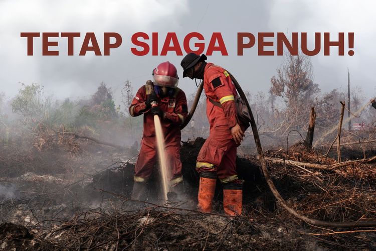
The contrasting developments have prompted the Ministry of Forestry to maintain full preparedness and strengthen field operations, particularly in areas experiencing significant increases in fire indicators.
Rainfall in parts of Riau on August 29 provided some support for fire-control efforts. Rain of varying intensity was reported across several areas, including heavy rainfall in some locations. However, rainfall remained uneven, with several areas still experiencing dry conditions.
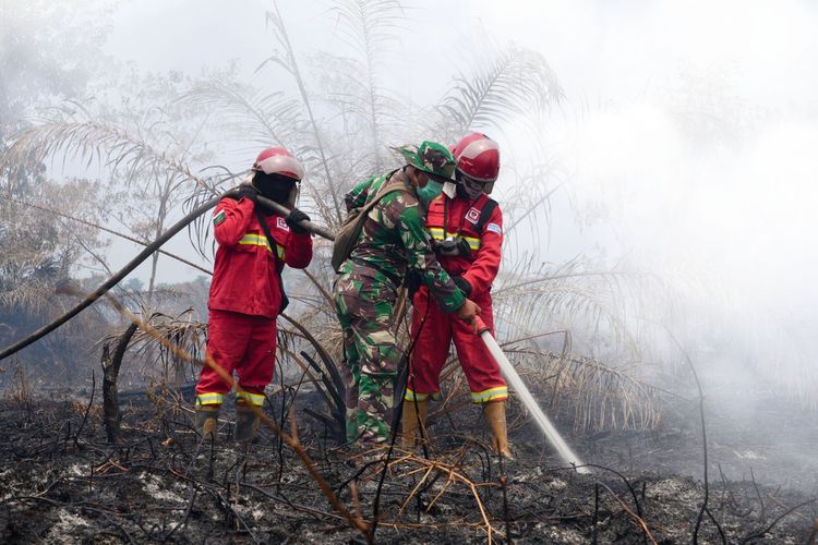
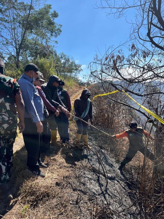
The government and joint response teams have continued patrols, ground checks, ground-based firefighting, fire containment, mopping-up and cooling operations, as well as monitoring areas vulnerable to reignition.
As of 9 a.m. on August 29, authorities had recorded 112 forest and land fire incidents and firespot ground-check reports across 11 provinces. Of these, 47 incidents had been declared extinguished, while 65 remained under firefighting operations.
The response involves Manggala Agni personnel under the Ministry of Forestry, together with the Indonesian Military, National Police, National Disaster Management Agency, Meteorology, Climatology and Geophysical Agency, regional disaster agencies, local governments, communities, businesses and other stakeholders.
Fire-control strategies are being adjusted according to local conditions, including peatland characteristics, water availability, fuel conditions, fire spread patterns and potential impacts on communities and public facilities.
The government is also maintaining aerial support for water-bombing operations and aerial patrols. Weather Modification Operations are being pursued in areas where meteorological conditions are considered suitable to support rainfall enhancement and land wetting.
Throughout 2026, Manggala Agni and other relevant agencies have conducted 4,682 fire-control operations covering approximately 38,277.43 hectares.
Air quality remains another concern. Monitoring in the six priority provinces showed varying conditions, with several locations in West Kalimantan and Central Kalimantan reaching hazardous levels. South Kalimantan recorded very unhealthy conditions at its worst monitoring points, while several locations in Riau, Jambi and South Sumatra were categorized as unhealthy.
Smoke has also reduced visibility in several provincial capitals. On the morning of August 29, the Meteorology, Climatology and Geophysical Agency recorded visibility of three kilometers in Palangka Raya, 0.8 kilometer in Pontianak, 0.5 kilometer in Banjarmasin, six kilometers in Palembang, 0.8 kilometer in Jambi and 2.5 kilometers in Pekanbaru, with smoke reported in most locations.
The Ministry of Forestry emphasized that visibility and air quality can change rapidly depending on smoke concentration, wind direction and speed, rainfall and atmospheric conditions. Authorities are therefore continuing to monitor hotspots, fire activity, air quality, smoke distribution, weather and visibility to determine subsequent response measures.
The ministry also urged communities not to clear or open land by burning and called on residents affected by smoke to follow official information on air quality, weather and visibility.
Authorities stressed that satellite-detected hotspots represent surface-temperature anomalies and do not automatically indicate individual fire incidents. A single fire can generate multiple hotspot detections, making ground verification and field monitoring essential before determining the actual fire situation. (*)