

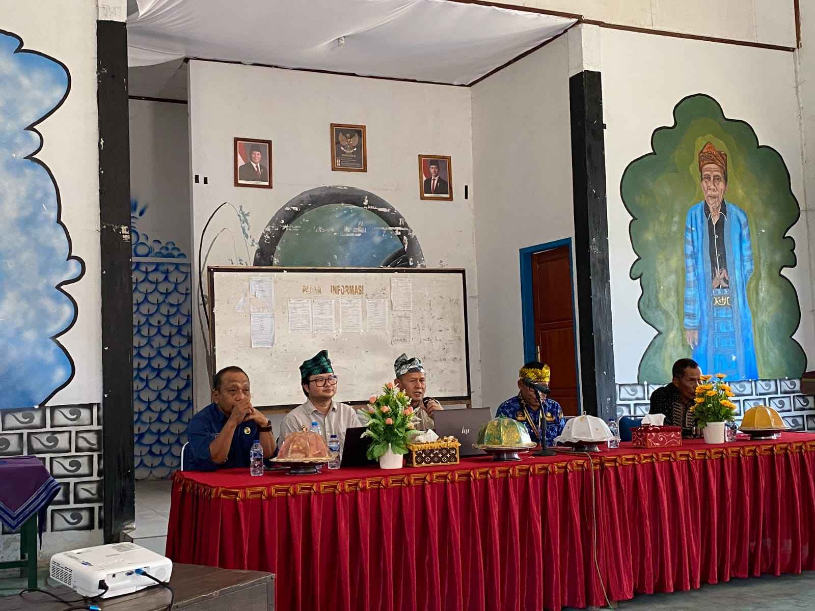
Enviro News Asia, Jakarta — Indonesia is preparing a science-based ecosystem protection project in three districts across the Wallacea region, with implementation scheduled for 2027, as the government seeks to strengthen environmental planning and account for risks to biodiversity.
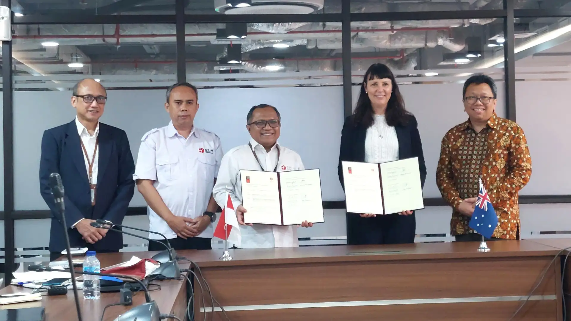
The Environment Ministry and the Environmental Control Agency (KLH/BPLH), in collaboration with the International Union for Conservation of Nature (IUCN), are developing the Land and Ecosystem National Threat Evaluation and Risk Assessment (LENTERA) project in Buton, Southeast Sulawesi; Banggai Islands, Central Sulawesi; and East Sumba, East Nusa Tenggara.
Supported by the Global Environment Facility’s eighth funding cycle (GEF-8), the initiative aims to help national and regional authorities develop environmental policies tailored to local ecological conditions and supported by scientific evidence.
“Through LENTERA, we want to strengthen the scientific basis of environmental planning, looking not only at natural resource potential but also at ecosystem conditions and risks,” Hariani Samal, director of sustainable natural resource management at KLH/BPLH, said during a working visit to Buton.
The project is intended to support the government’s Pilar Lestari environmental governance framework by incorporating ecosystem risk assessments into planning and decision-making.
Under the project, IUCN will support the use of its Red List of Ecosystems (RLE) methodology to assess ecosystem risks nationally. The results will be integrated into a geospatial information system using the Ecoregion Area Code (KRE), allowing authorities to monitor ecosystem vulnerability and pressures from natural resource use.
The data are expected to inform revisions to regional Environmental Protection and Management Plans (RPPLH) and policies on environmental carrying capacity.
Project preparation began with an inception workshop on Sept. 22. The current preparation phase includes social and environmental screening, stakeholder engagement planning, technical assistance for local governments and the application of Free, Prior and Informed Consent (FPIC) principles.
Field assessments have also been conducted in the three districts to ensure the project reflects local conditions and community concerns.
In Buton, the team visited the Muna–Buton Karst Ecoregion from Sept. 29 to Oct. 3 to examine spatial planning, karst ecosystems and forest cover.
In the Banggai Islands, consultations from Oct. 6 to 10 focused on the Banggai Karst Ecoregion. The team engaged Indigenous leaders, women, young people and vulnerable groups to understand how communities use local natural resources.
The assessment in East Sumba, conducted from Oct. 13 to 17, examined savanna landscapes and river basins in the Nusa Savana Tana Humba Ecoregion. Traditional textile weavers were also involved in discussions on sustainable livelihoods.
KLH/BPLH said early community participation was important to ensure scientific assessments complement Indigenous and local knowledge. The consultations are also intended to safeguard communities’ interests while supporting livelihoods in the three ecoregions.
The project’s success will depend on translating its scientific assessments and community consultations into practical environmental policies that address the distinct ecological and social conditions of each region. (*)