Enviro News Asia, Jakarta — Indonesia recorded 559 high-confidence hotspots nationwide as of September 27, 2026, prompting the Ministry of Forestry (Kemenhut) to strengthen forest and land fire control, particularly in Central Kalimantan, where hotspot activity increased sharply.
Kemenhut’s SiPongi monitoring system detected 559 high-confidence hotspots at 9:10 p.m. local time on September 27, an increase of 228 from 331 hotspots recorded the previous day.
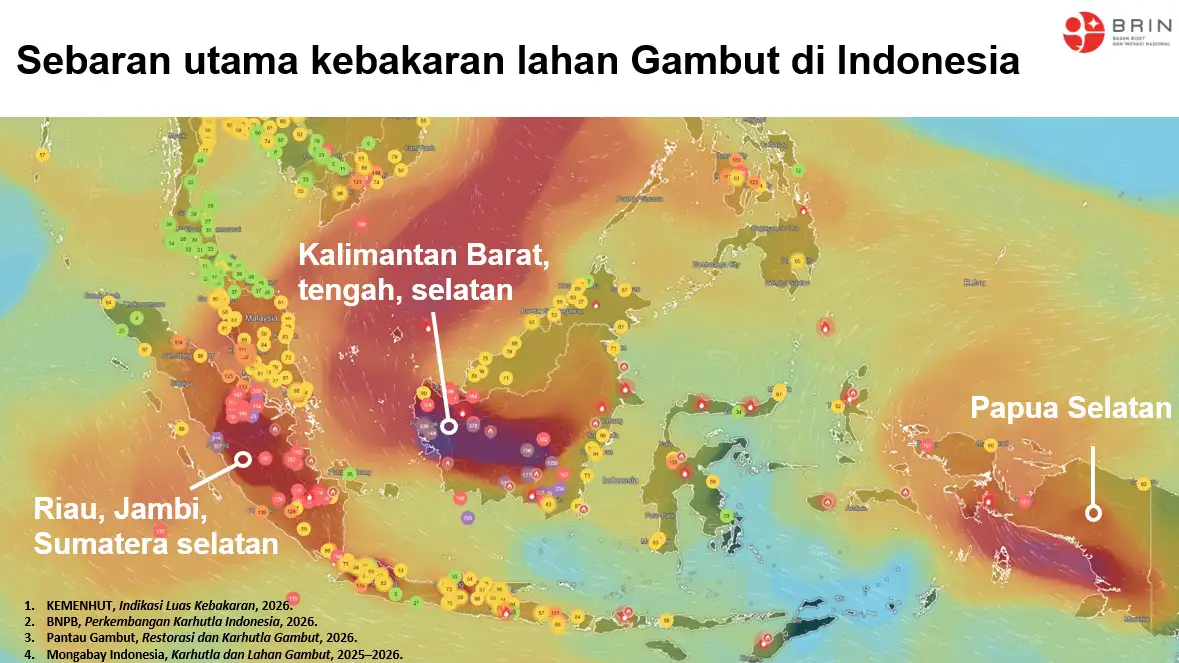
Central Kalimantan recorded the largest increase among six priority provinces, with high-confidence hotspots rising from 30 to 134. South Sumatra recorded 29 hotspots, down from 38, while South Kalimantan fell from 40 to 25.
West Kalimantan recorded 11 hotspots, up from two, while Jambi increased from one to five. Riau recorded no high-confidence hotspots, unchanged from the previous monitoring period.
The six priority provinces collectively recorded 204 high-confidence hotspots, compared with 111 the previous day.
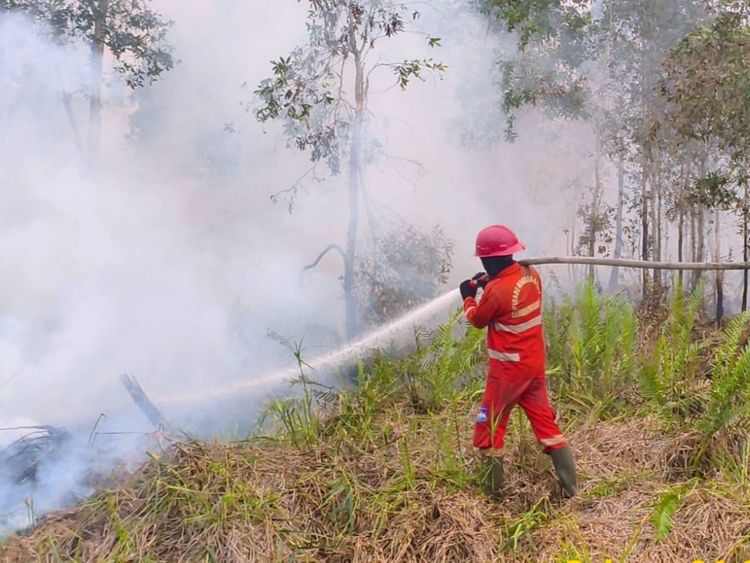
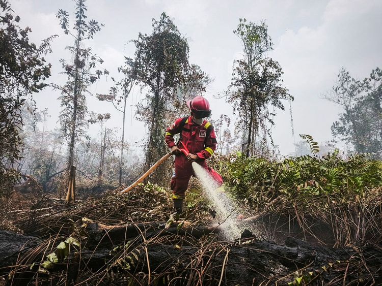
Kemenhut has responded by strengthening field verification and firefighting operations, particularly in Central Kalimantan. Manggala Agni teams and other agencies continue patrols, ground checks, firefighting, wetting, mopping up and cooling operations to prevent fires from spreading or reigniting.
Kemenhut emphasized that hotspots represent surface-temperature anomalies detected by NASA’s Terra and Aqua satellites, as well as the SNPP and NOAA-20 satellites. One fire incident can generate several hotspot detections, meaning hotspot numbers cannot be directly equated with the number of fires or the total burned area. Field verification remains necessary to determine actual conditions.
Air and Ground Operations
The government has deployed 61 aircraft to support national forest and land fire operations. Seventeen aircraft are assigned to patrols and weather modification operations, while 44 are deployed for water bombing.
Fifty-five aircraft support operations in the six priority provinces, with six additional water-bombing aircraft positioned to assist other affected areas.
Aerial operations are being conducted alongside ground operations involving Manggala Agni, the National Disaster Management Agency (BNPB), the Indonesian Military (TNI), the National Police (Polri), regional disaster management agencies, local governments, communities, volunteers, businesses and other stakeholders.
Weather modification operations also remain part of efforts to increase moisture in fire-prone areas. The Meteorology, Climatology and Geophysical Agency (BMKG) recorded weather modification operations for peatland wetting and fire management in Central Kalimantan from September 22–27 and in South Kalimantan from September 22–26.
Air Quality Monitoring
PM2.5 monitoring shows that most parts of Indonesia remain within good to moderate air-quality categories. However, several areas in Kalimantan have recorded unhealthy to very unhealthy conditions, prompting authorities to urge residents to monitor local air-quality information.
Air quality and visibility can change depending on particulate concentrations, smoke, wind and weather conditions. In Pontianak, for example, BMKG forecast hazy conditions and light rain for September 27–28, with visibility of around two kilometers.
BMKG also issued early warnings on September 27 for the potential of moderate to heavy rainfall in several priority provinces, including Central Kalimantan, South Kalimantan, West Kalimantan, South Sumatra, Riau and Jambi.
Rain can help wet fire-prone areas, but authorities continue to urge caution because peat fires can persist beneath the surface even after rainfall.
Protecting Communities and Wildlife
Kemenhut has also highlighted the impacts of forest and land fires on communities and wildlife. Residents who encounter wild animals outside their habitats or near fire-affected areas are advised not to capture or evacuate the animals themselves.
Instead, residents should maintain a safe distance, record the location and condition of the animal if possible, and immediately report the sighting to the relevant Natural Resources Conservation Agency (BKSDA) or the nearest forestry officer.
Residents in smoke-affected areas are advised to follow air-quality updates and local government guidance. If air quality deteriorates, people should reduce outdoor activities and wear masks when going outside.
Children, pregnant women, older people and individuals with respiratory conditions or chronic illnesses require particular attention during periods of poor air quality.
Kemenhut also reminded communities and businesses not to clear or open land by burning. Residents who observe smoke, fire hotspots or land-burning activities are encouraged to report them immediately so authorities can respond at an early stage. (*)