Enviro News Asia, Jakarta — Indonesia’s Ministry of Forestry reaffirmed its commitment to accelerating the resolution of land status issues affecting underdeveloped villages located within designated forest areas.
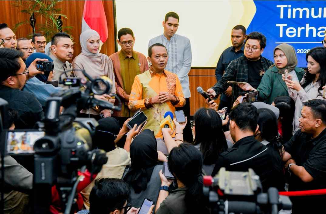
The statement was delivered by Deputy Minister of Forestry Rohmat Marzuki during the inaugural working meeting of the House of Representatives’ Special Committee on Agrarian Conflict Resolution in Jakarta on Tuesday.
The meeting brought together members of the special committee and representatives from several ministries, including the Ministry of Forestry, the Ministry of Agrarian Affairs and Spatial Planning/National Land Agency, the Ministry of Villages and Regional Development, the Ministry of Transmigration, and the Ministry of Home Affairs.
Rohmat Marzuki stated that the Ministry of Forestry fully supports village development initiatives within forest areas, provided they comply with prevailing laws and regulations. He emphasized that legal certainty and environmental sustainability remain central considerations in resolving land tenure issues.
Indonesia’s total forest area on land and waters covers approximately 124.9 million hectares. Of this figure, around 112.8 million hectares, or 90.24 percent, have been formally designated through on-the-ground boundary demarcation, while the remaining 9.76 percent remains under the designation process.
Based on integrated mapping and data analysis, 25,468 villages—about 30.5 percent of all villages nationwide—have administrative areas overlapping with forest zones. The government has resolved the status of 2,764 villages by converting them into non-forest land use areas, while an additional 2,614 villages remain under active resolution processes.
The ministry addresses these cases through mechanisms such as Agrarian Reform Land Objects and the Settlement of Land Tenure in Forest Areas, while maintaining forest conservation principles and legal certainty for local communities.
The Ministry of Forestry also manages transmigration settlements located within forest zones. Approximately 1.2 million hectares have been released for transmigration purposes through partial forest area releases, provincial spatial plan reviews, and agrarian reform mechanisms.
During the meeting, Rohmat Marzuki underscored the importance of clearly defining forest boundaries in relation to non-forest land use areas. He stated that boundary clarity provides certainty for local communities, village administrations, regional governments, and the state, while strengthening forest protection functions. He added that the One Map Policy plays a critical role in integrated and sustainable spatial planning and forest governance. (*)